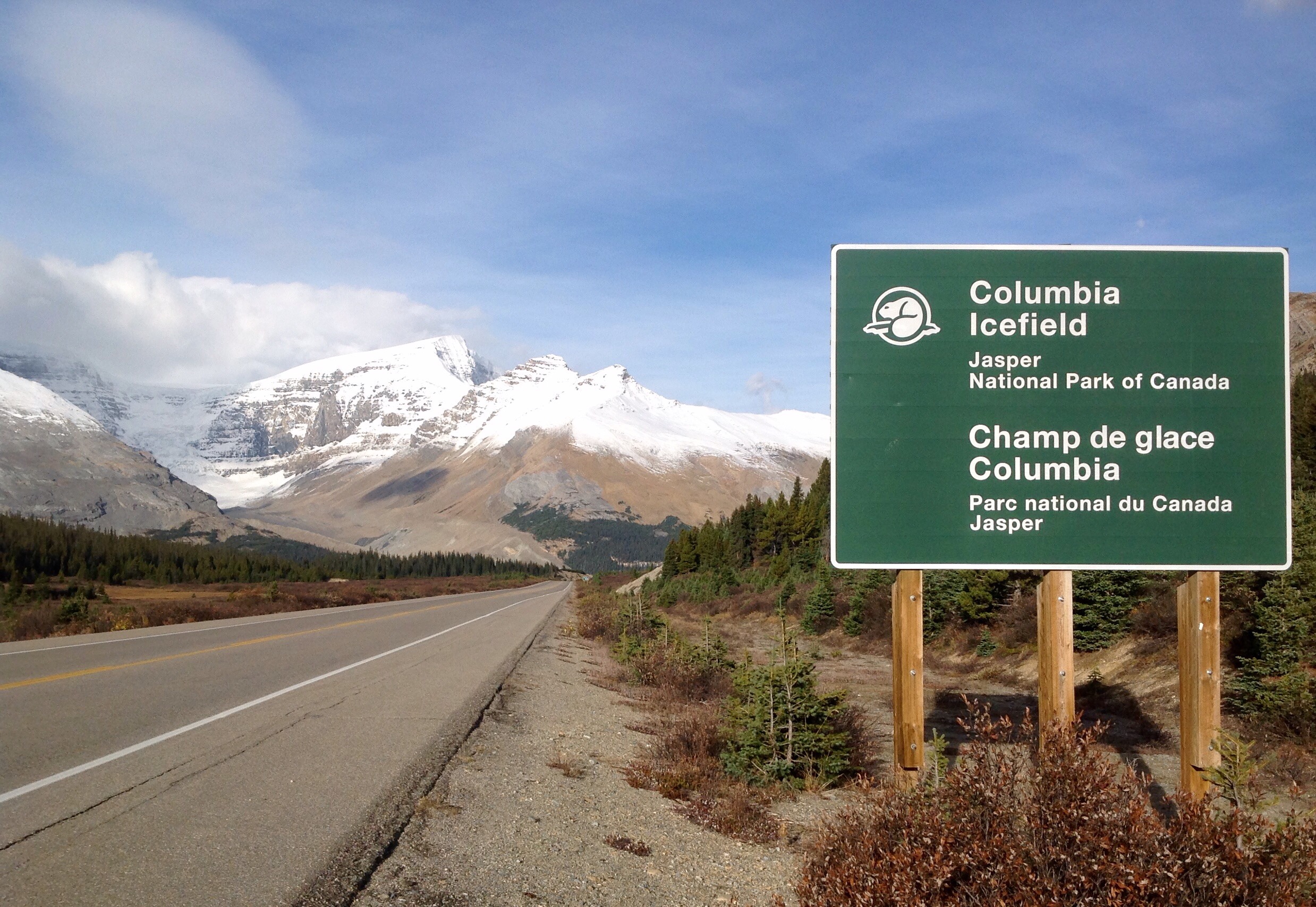
(My solo road trip of western Canada – Thursday 24th September)
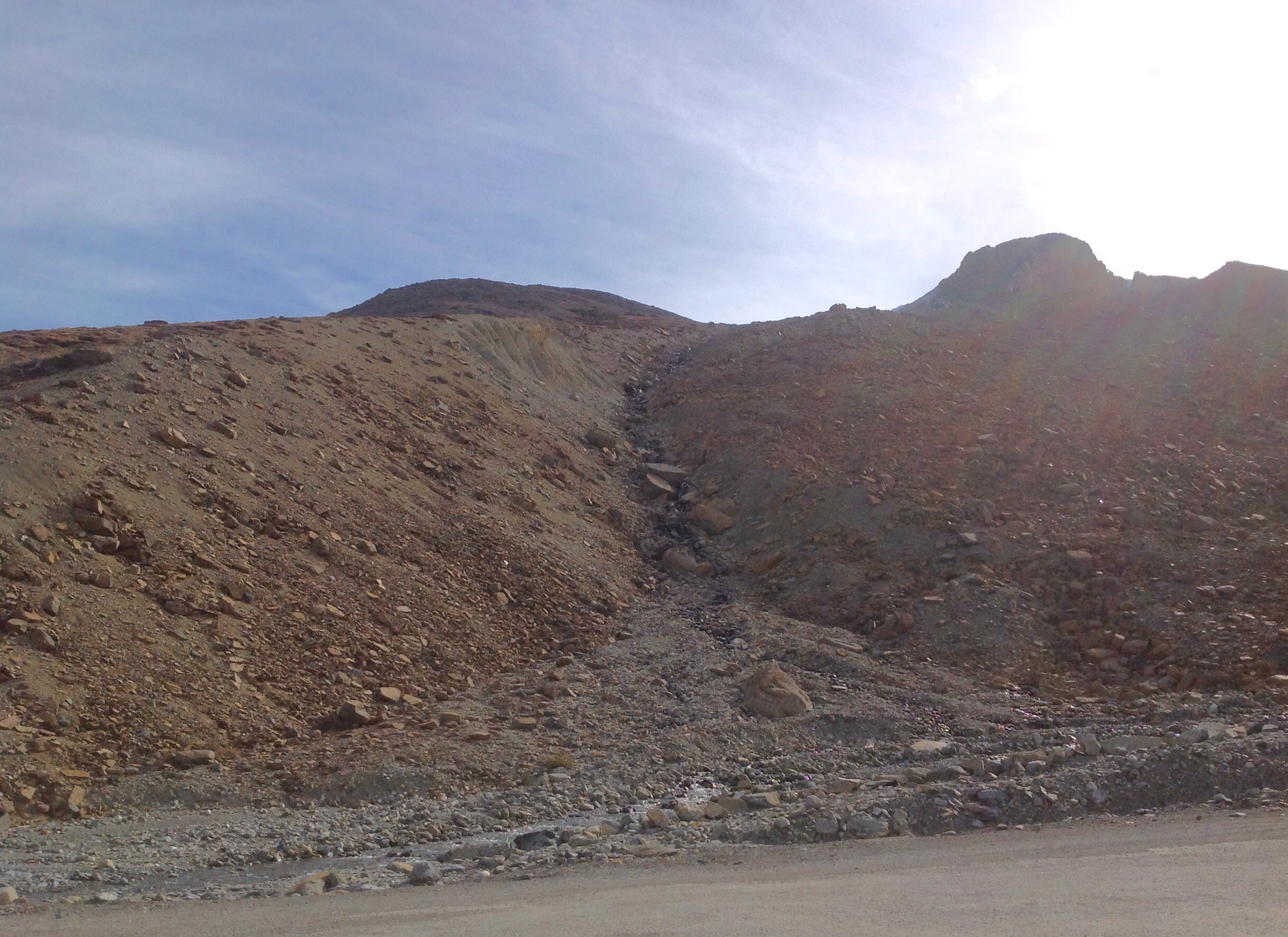
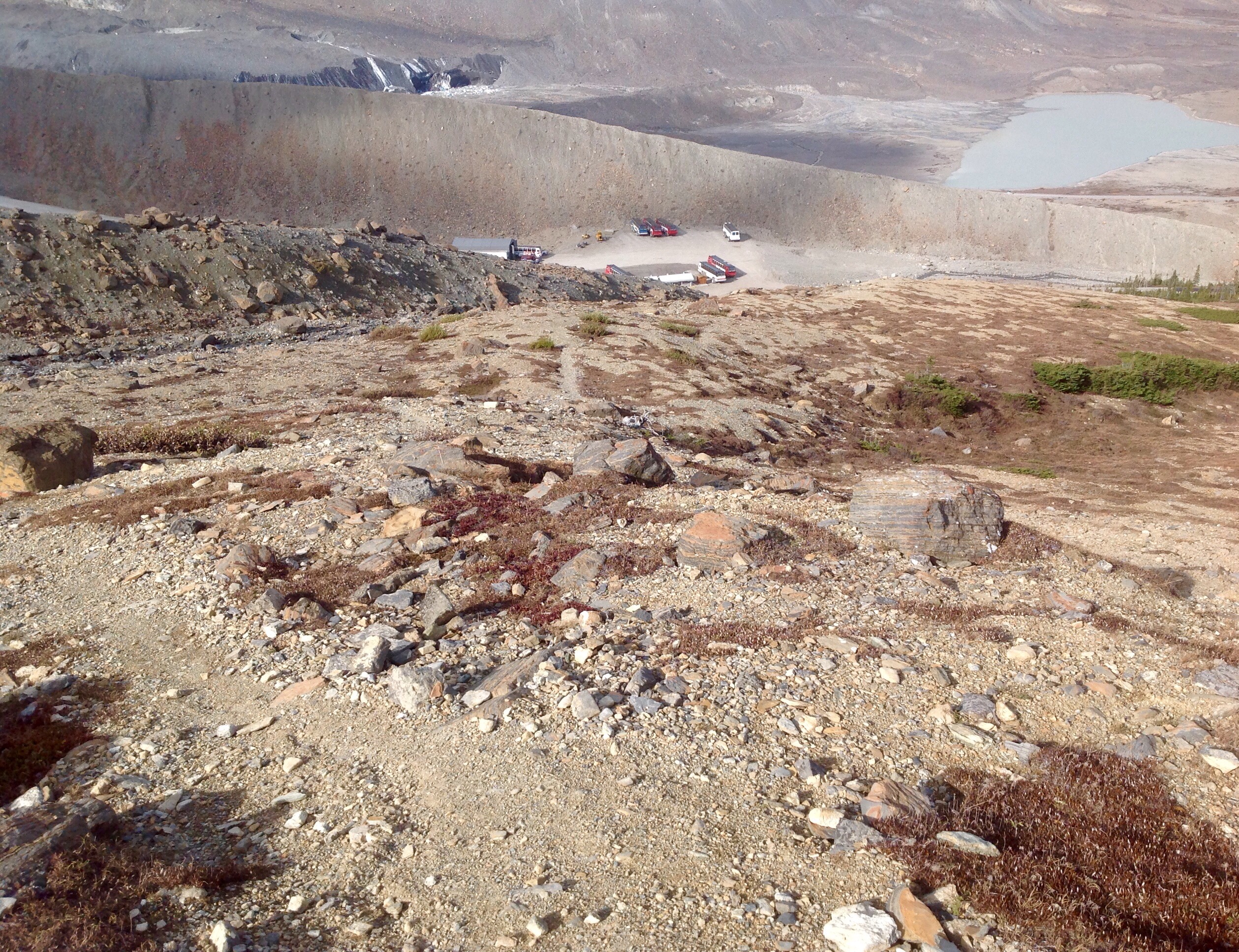
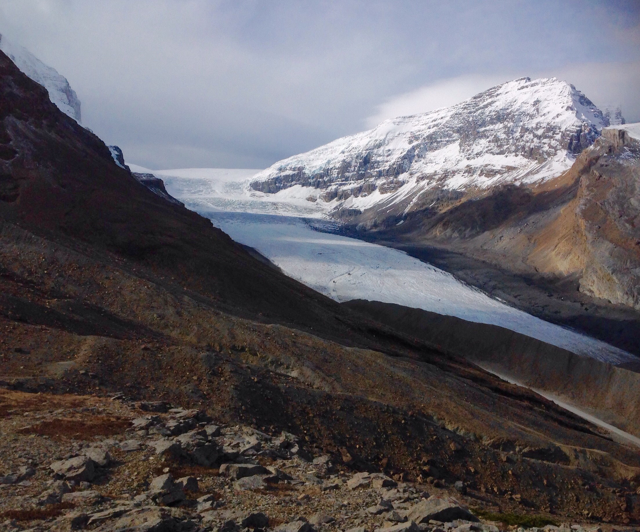
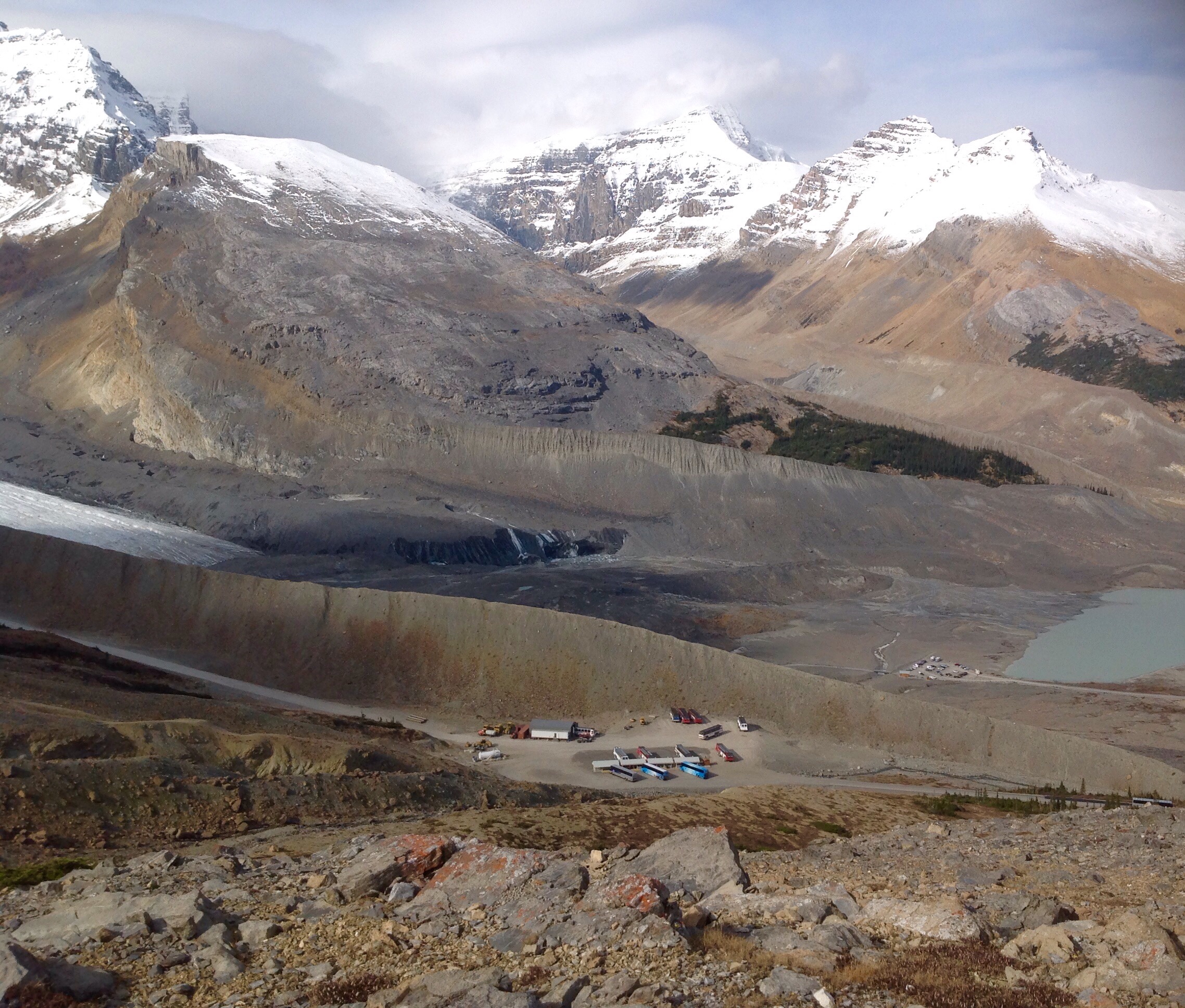
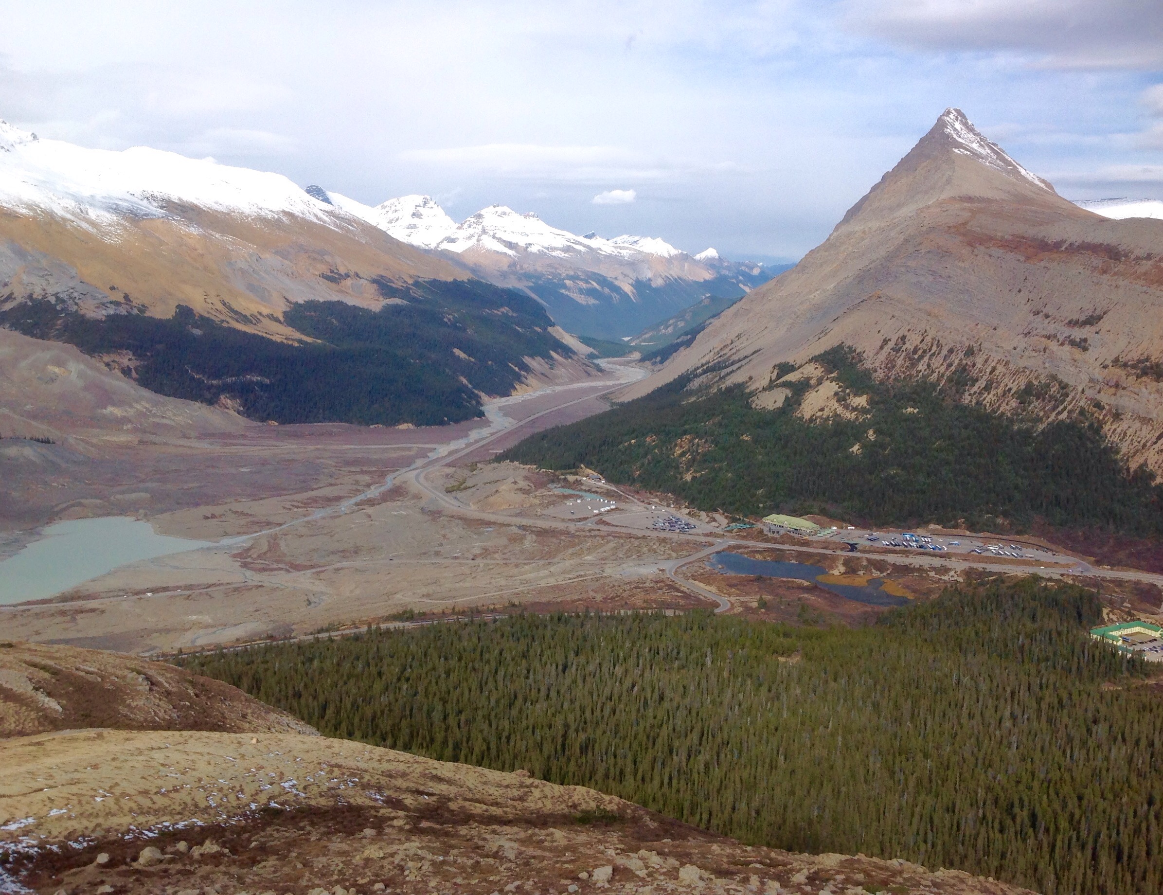
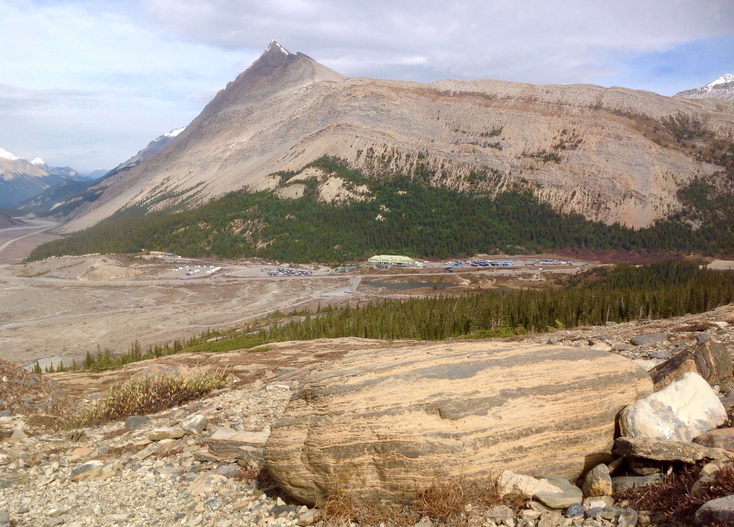
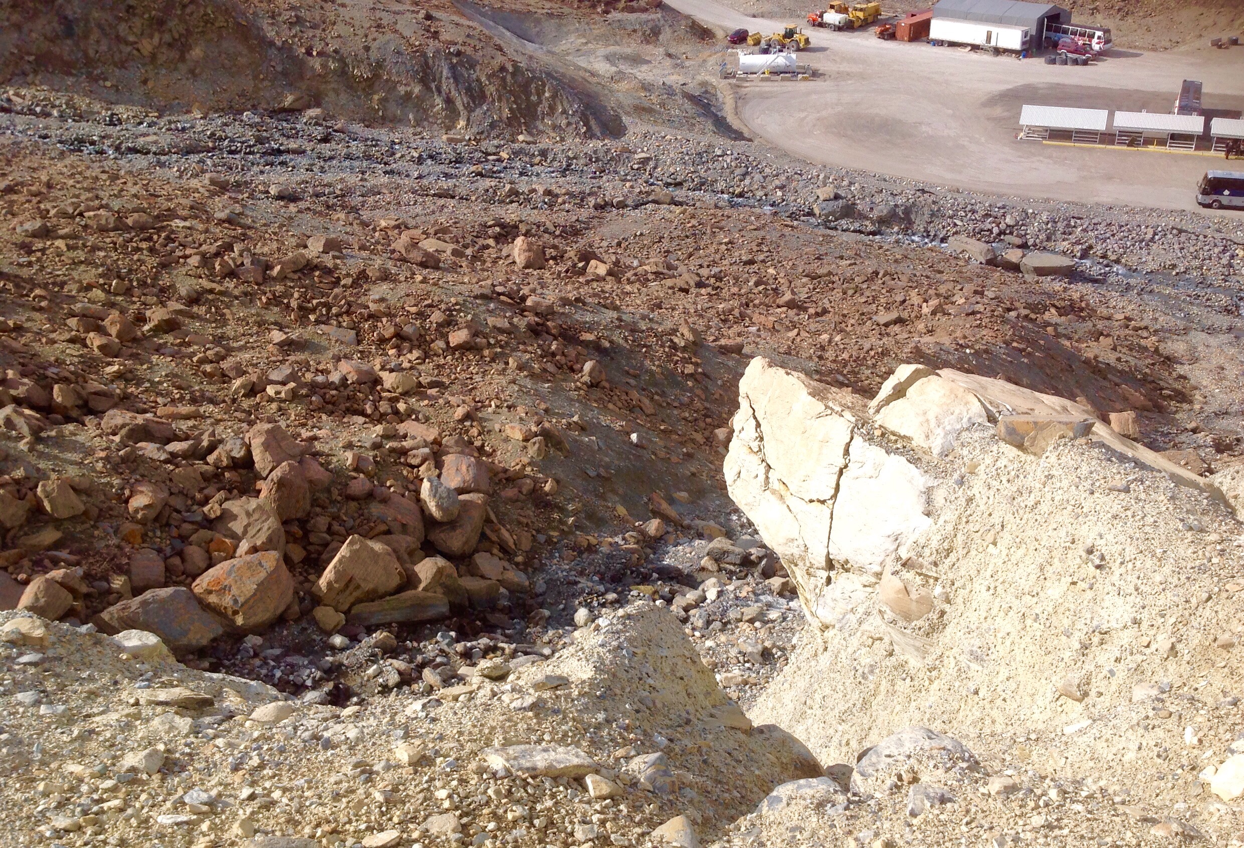
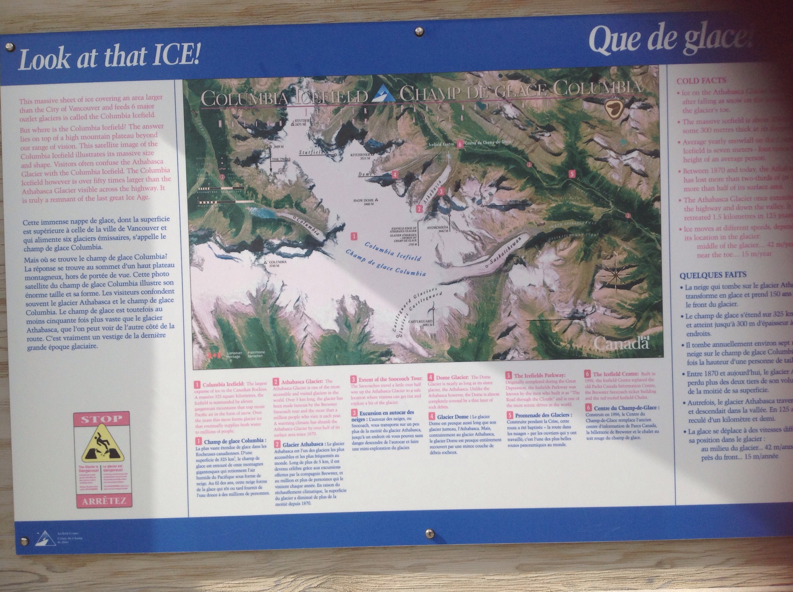
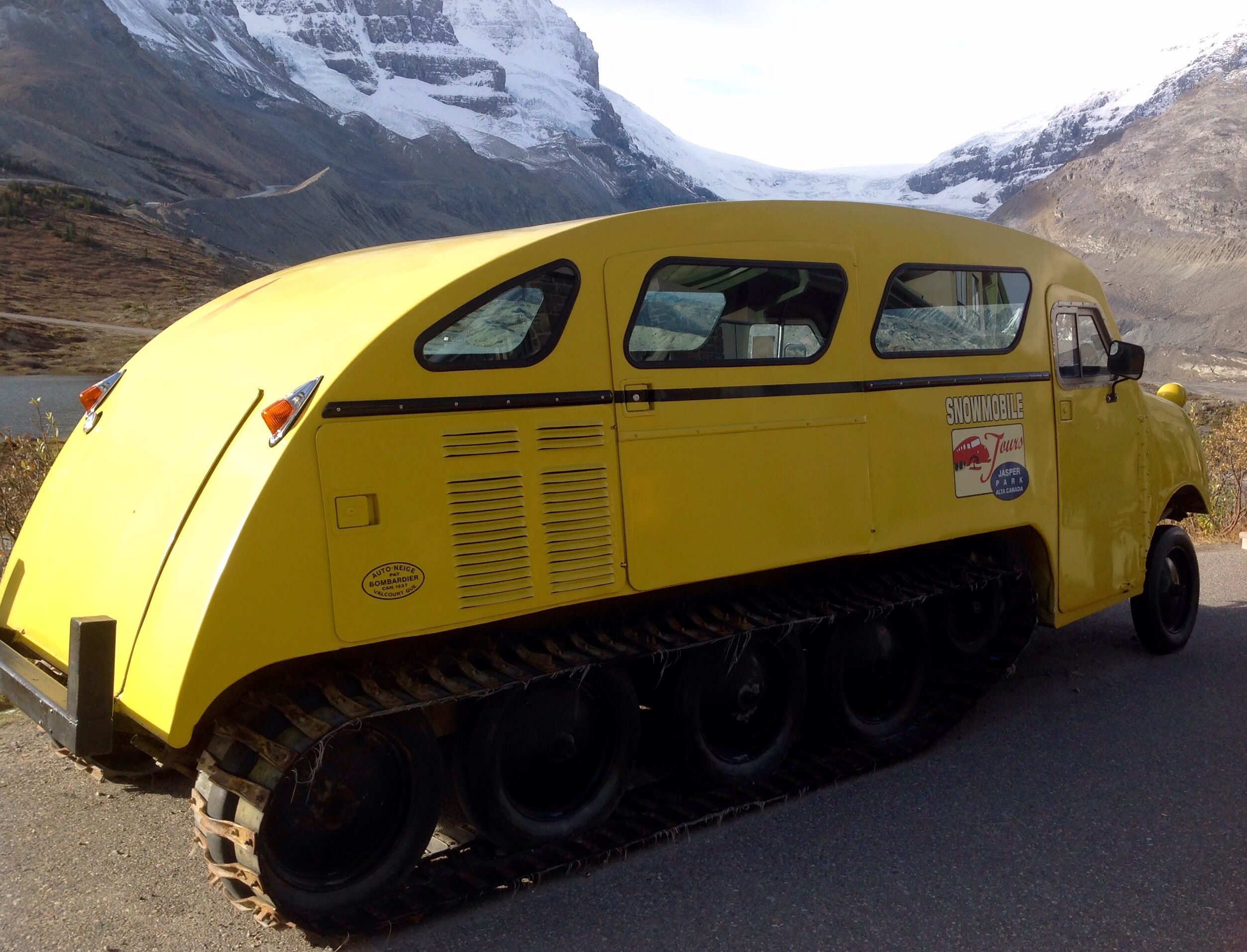
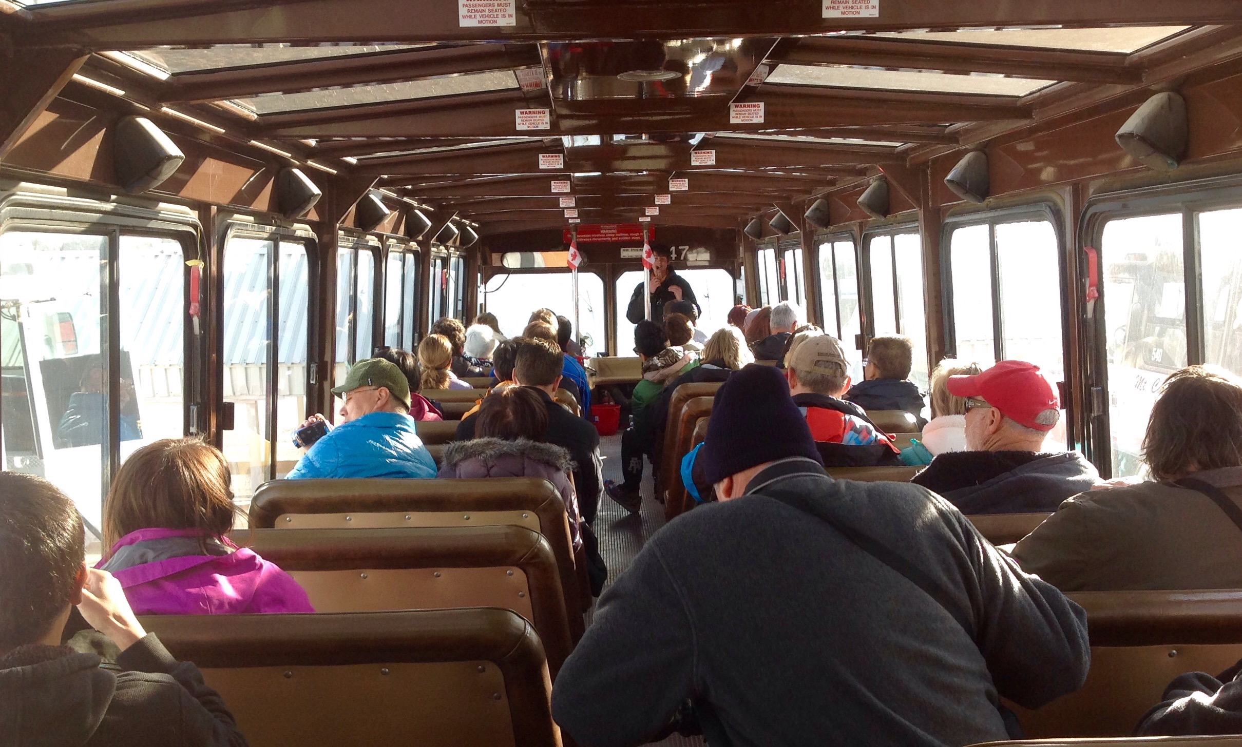
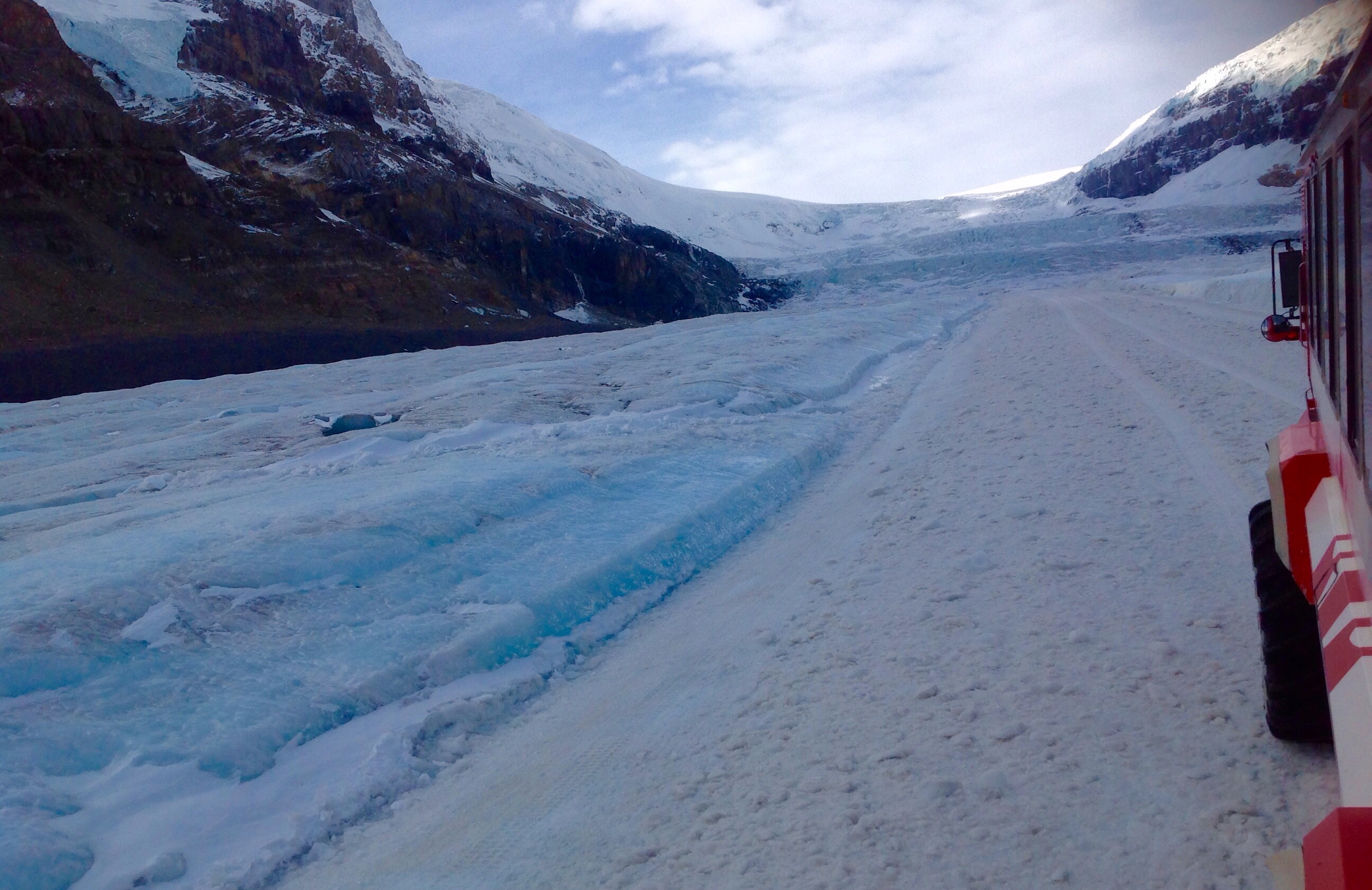
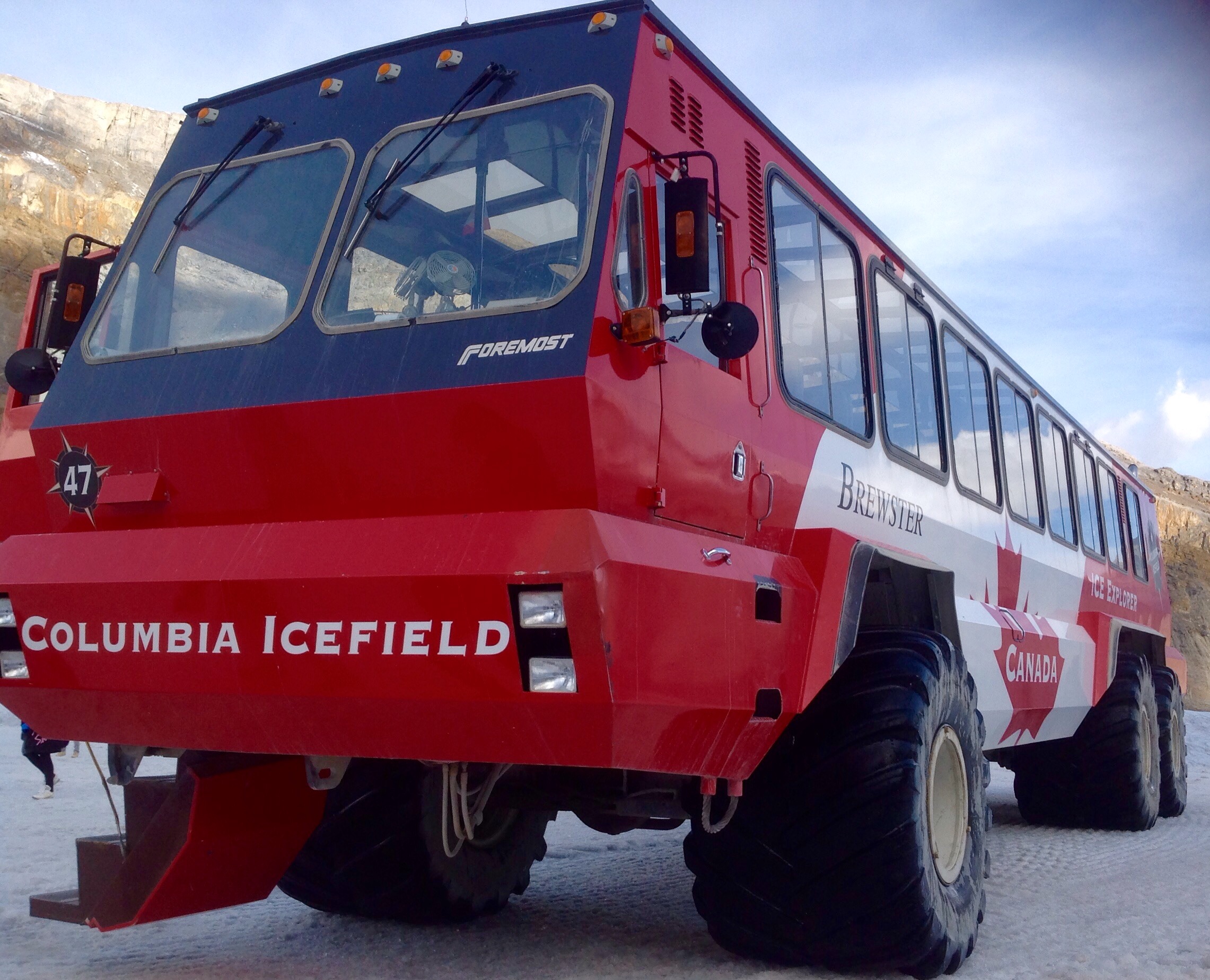
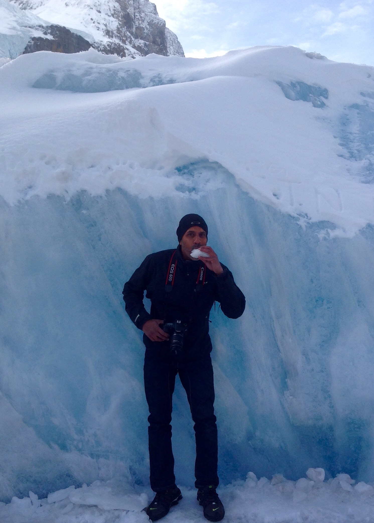
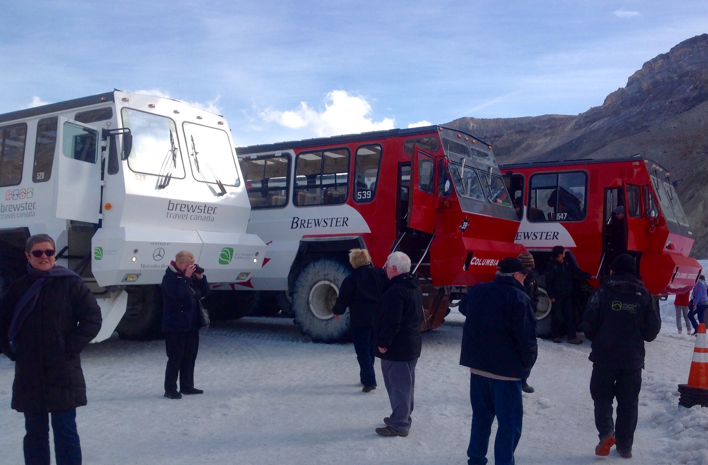
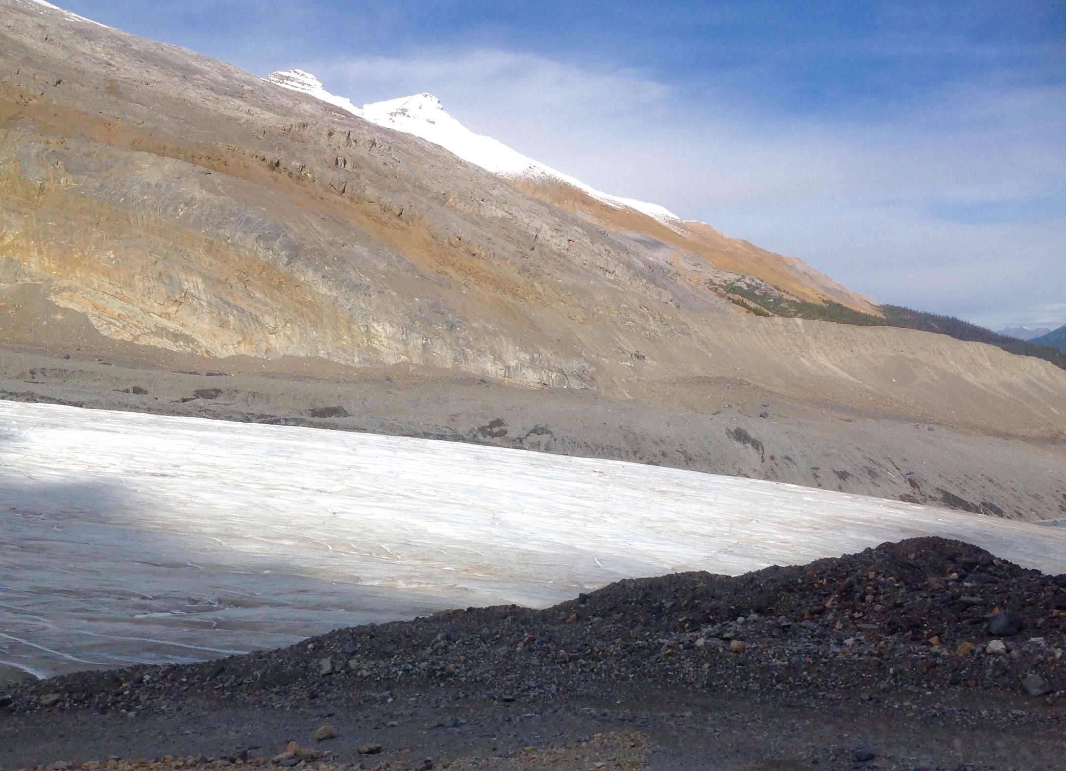
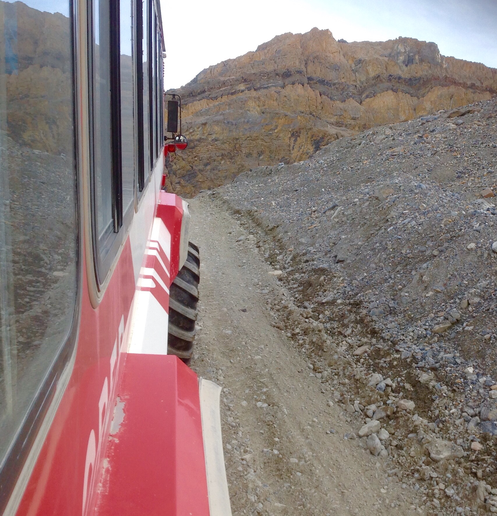
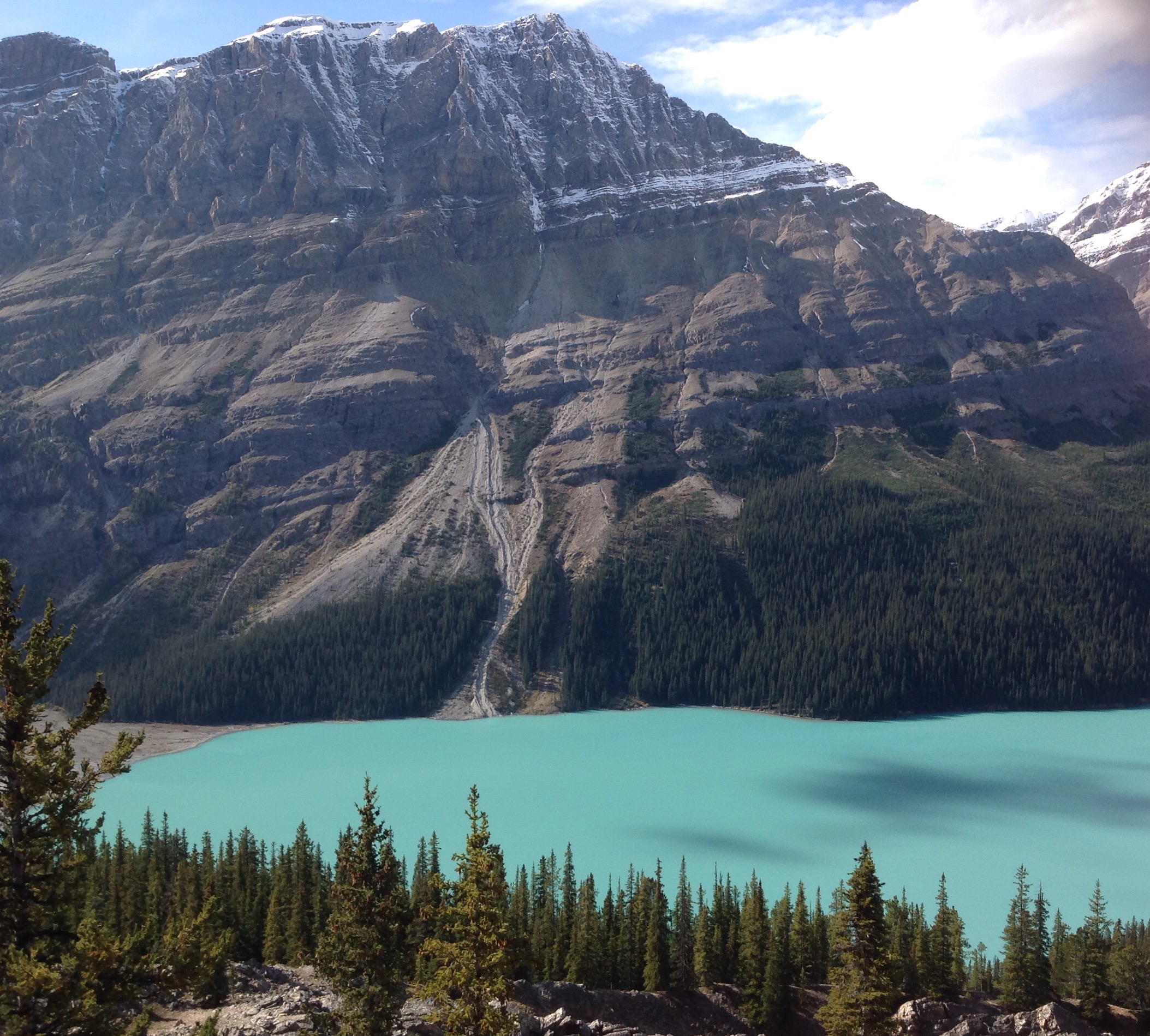
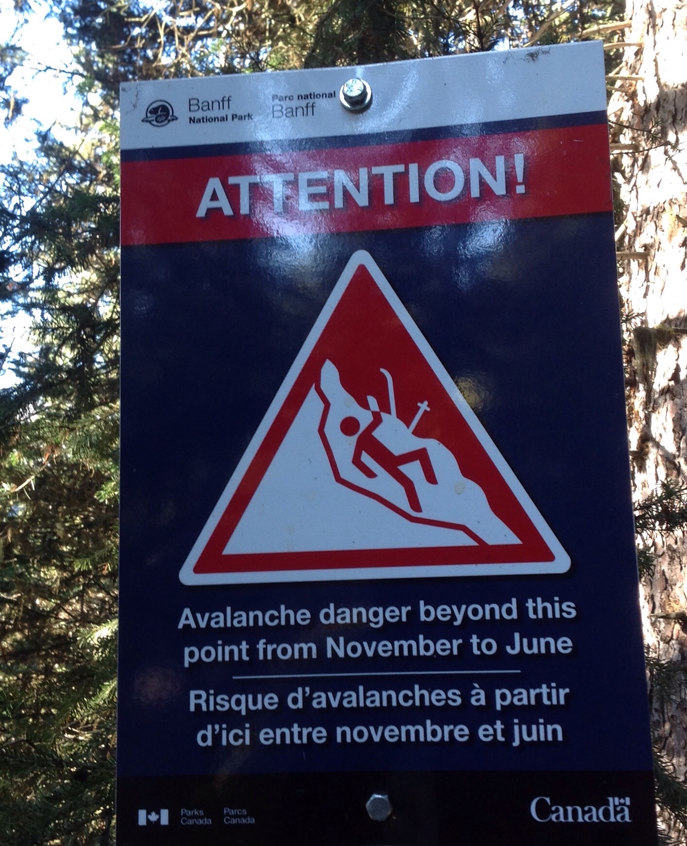
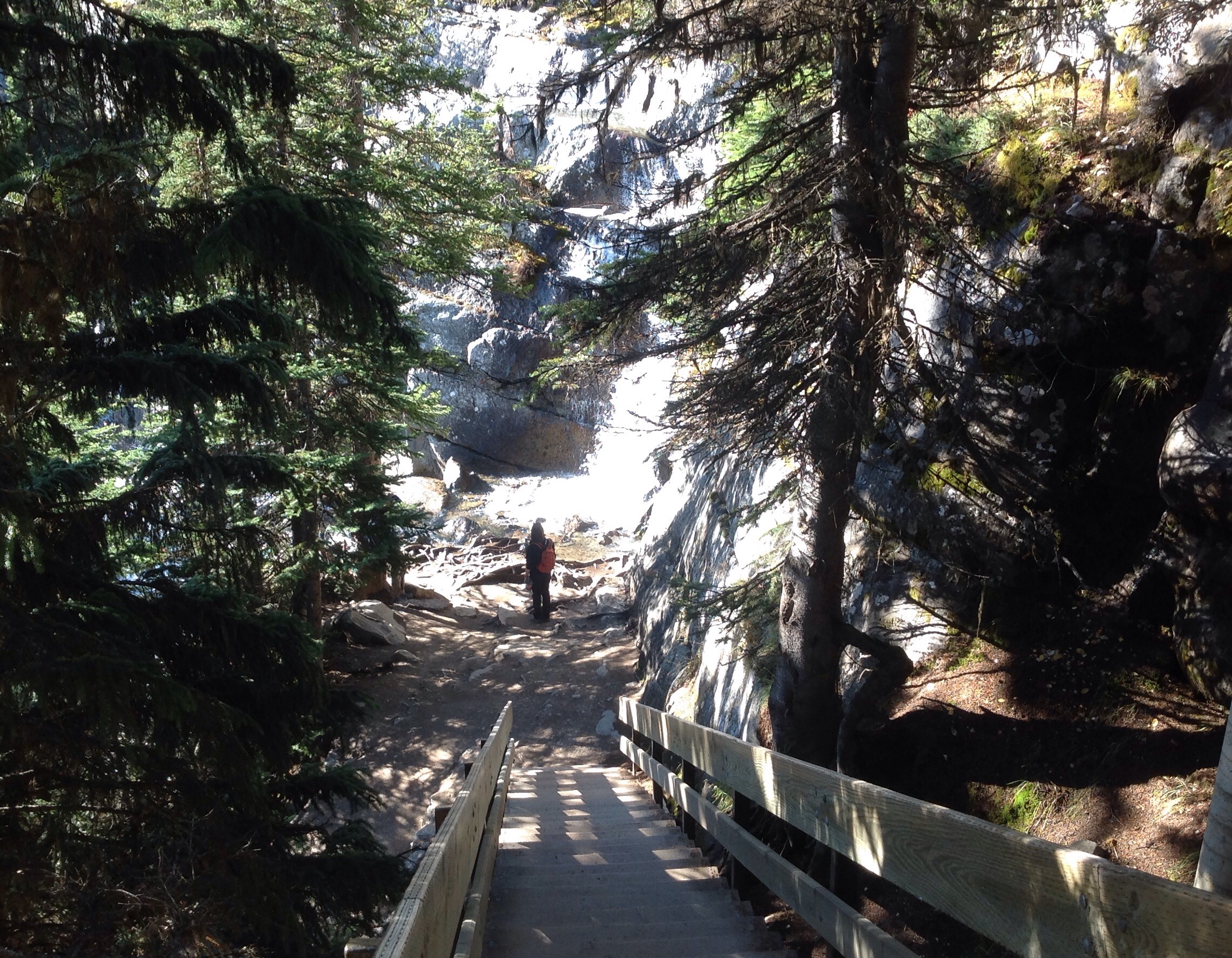
When we were returning from visiting the glacier, our guide mentioned a hidden gem of a hike that he said if anyone who has the time and the energy to do, should do. He pointed it out, it looked good and although it was not part of the plan, I really wanted to do it. We arrived at the depot where we transitioned from the mother snow coach to the boring standard everyday coach…I did not board, everyone else did and I decided to do the hike.
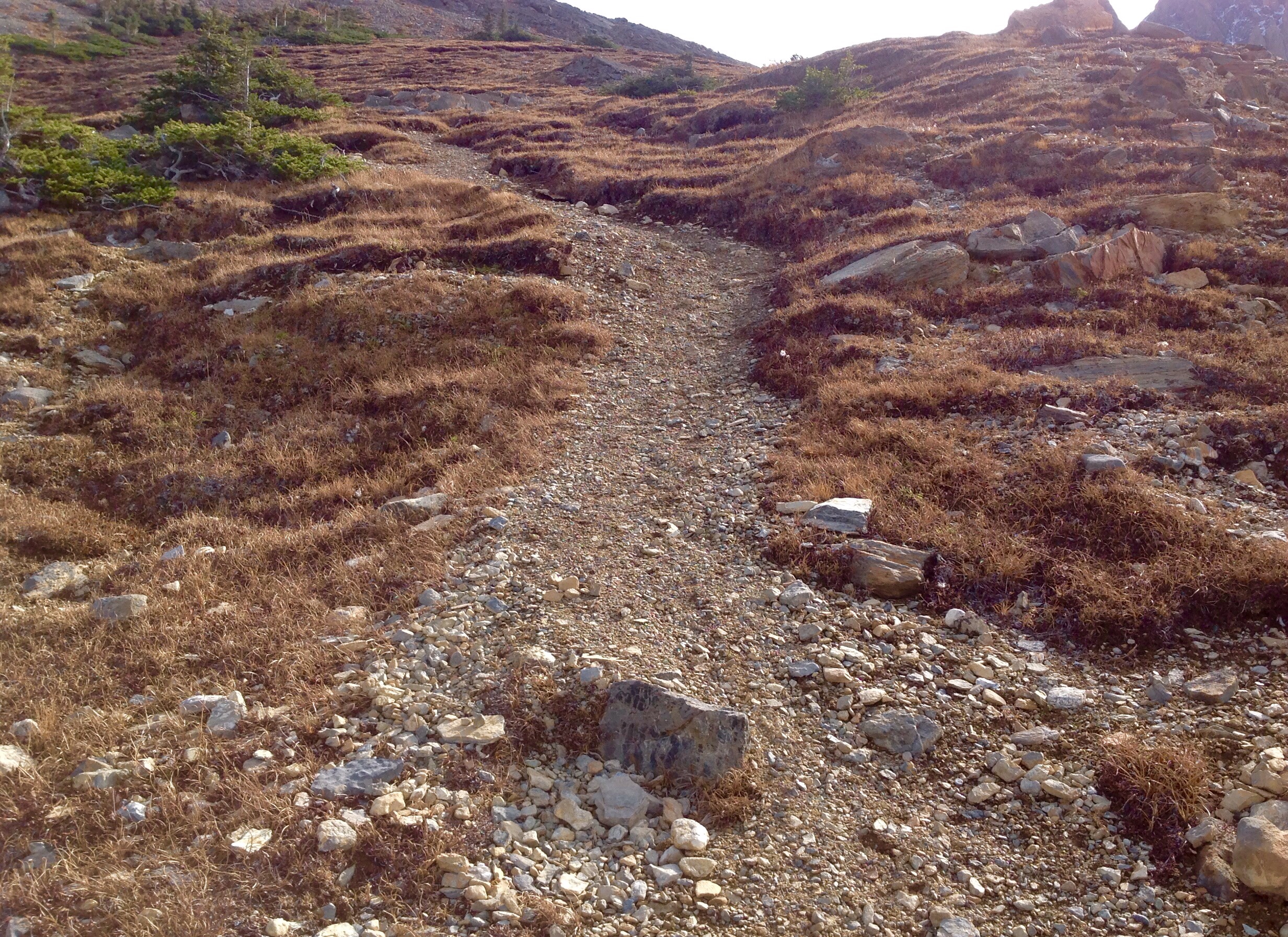
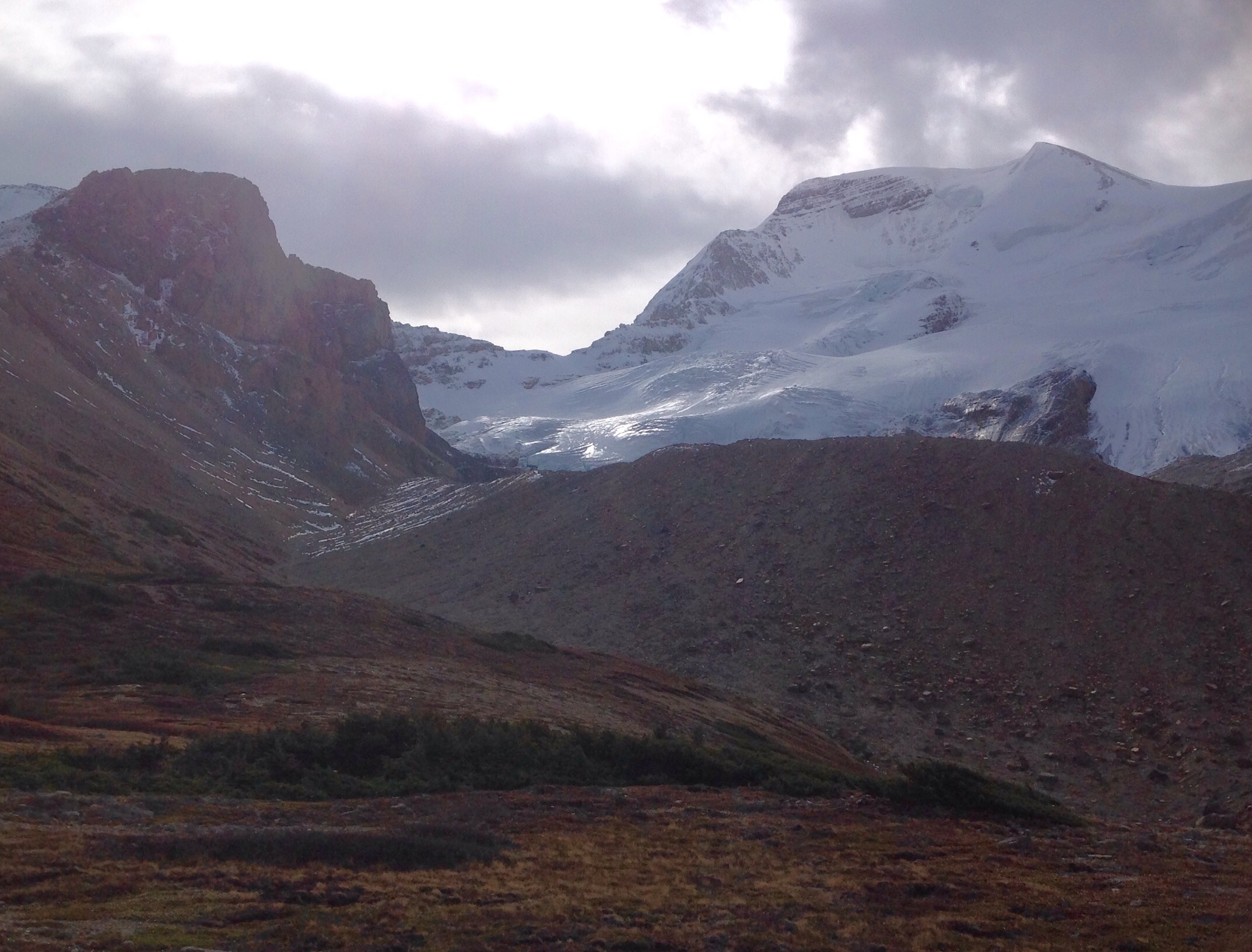
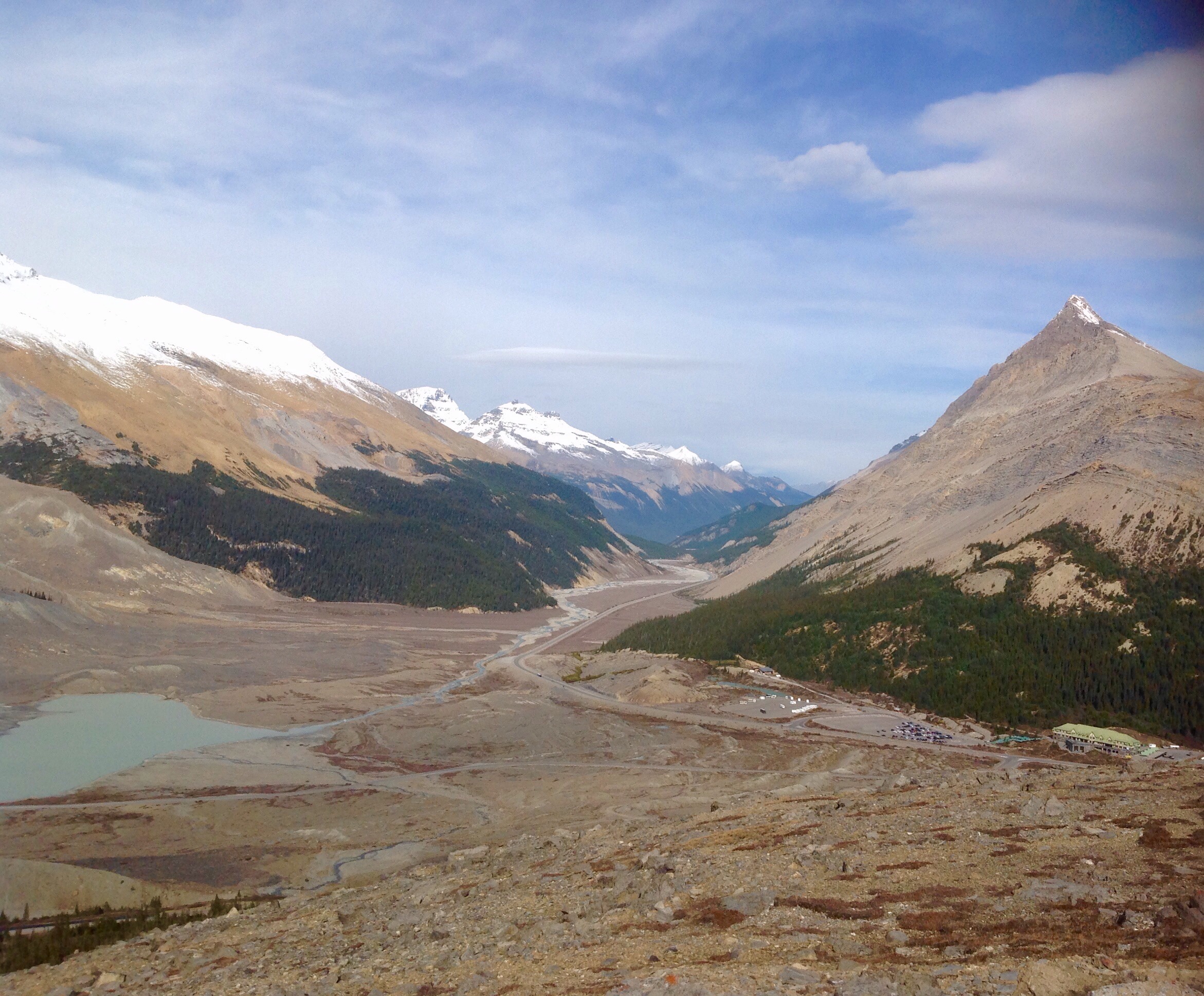
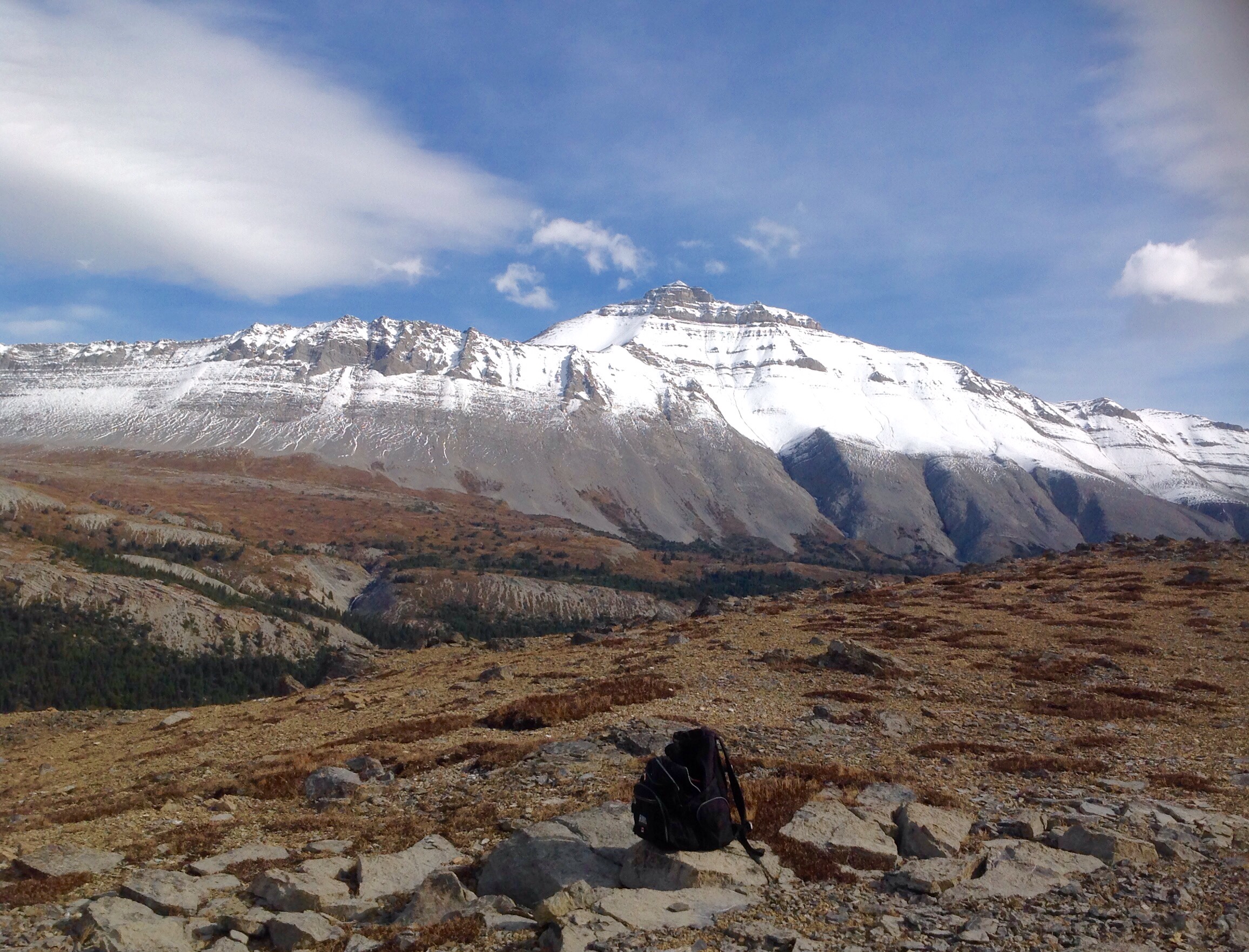
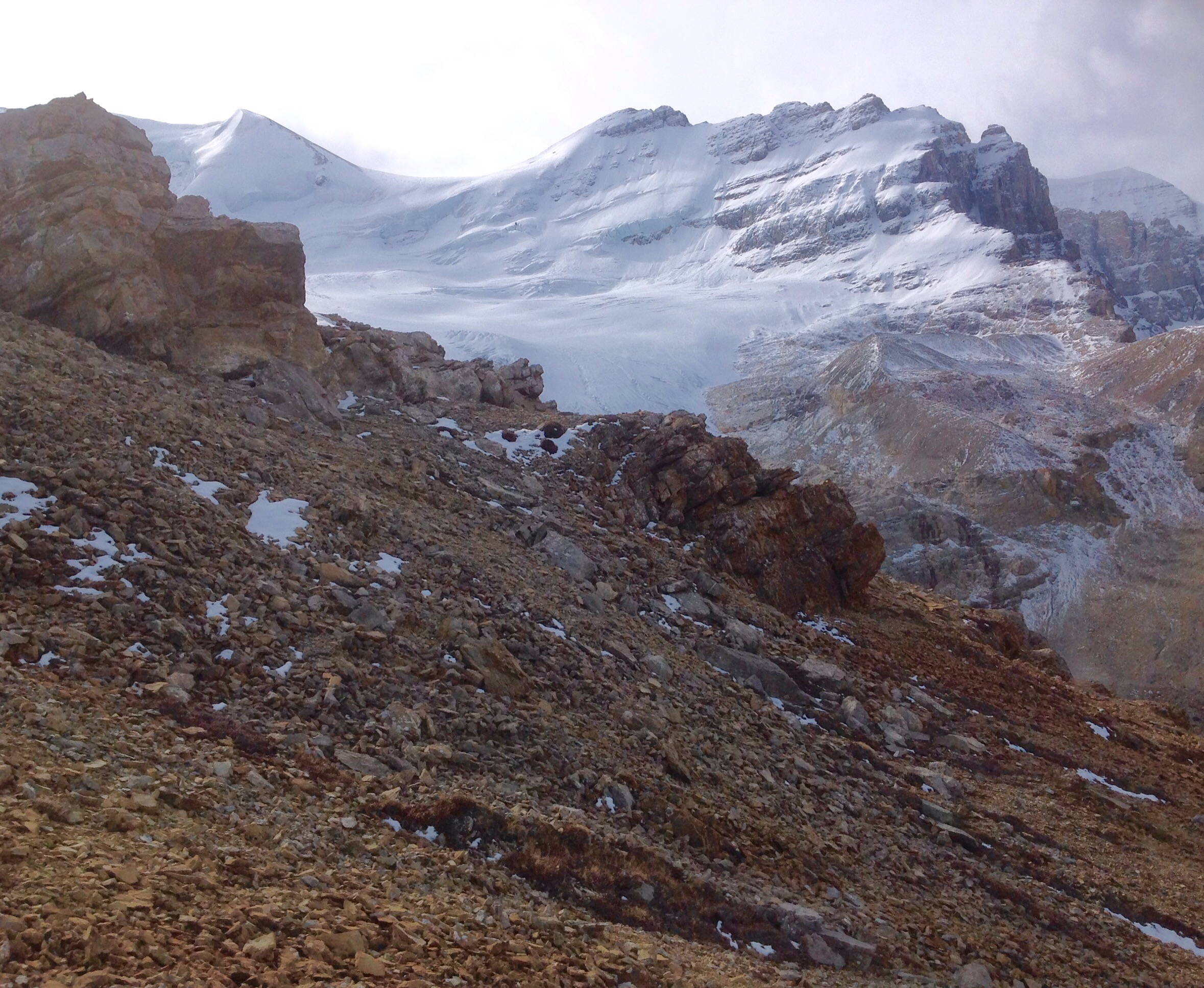
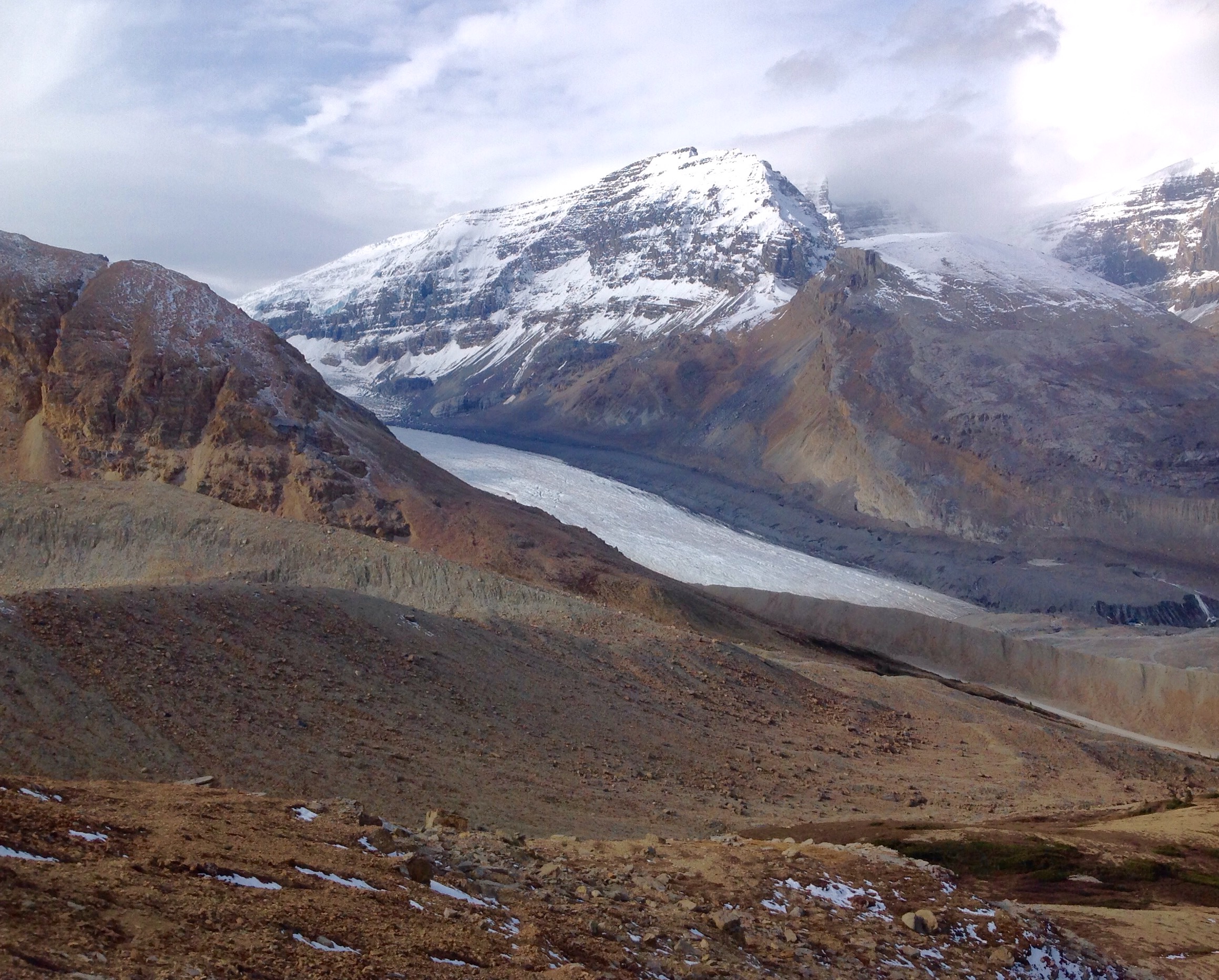
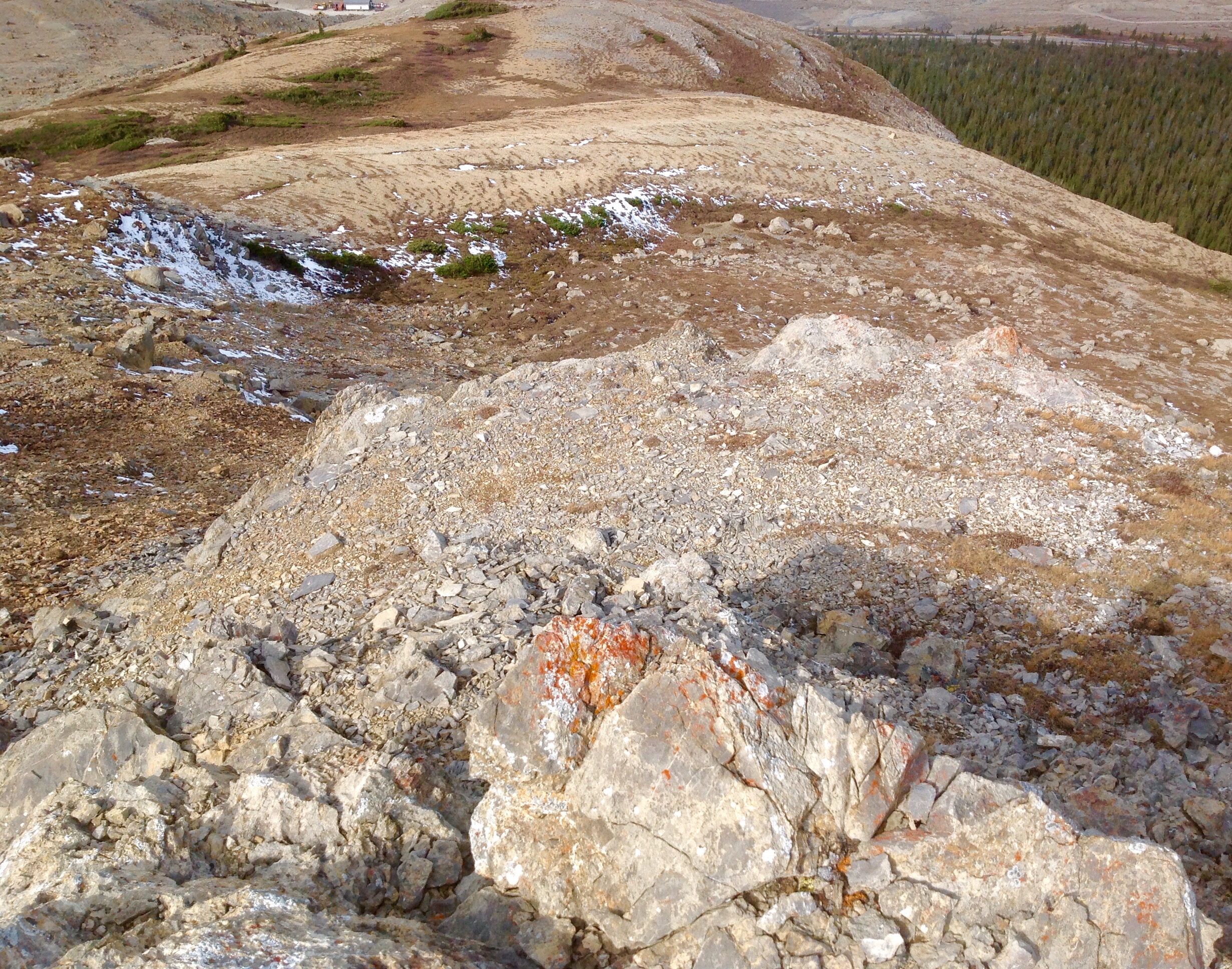
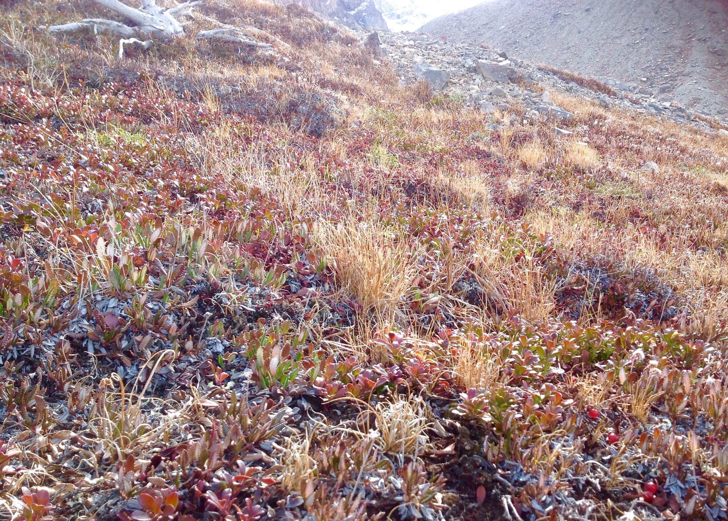
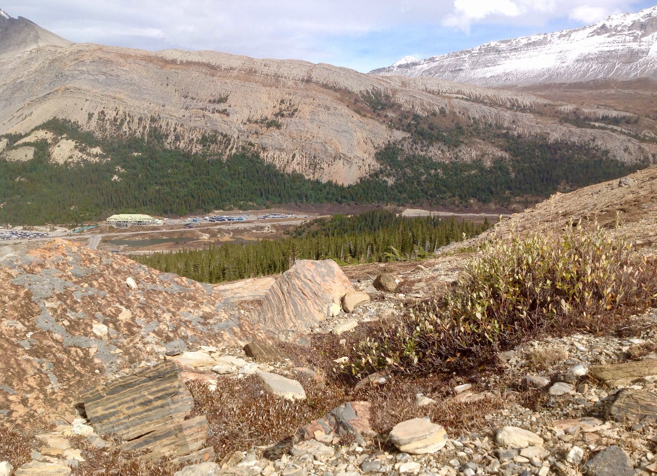
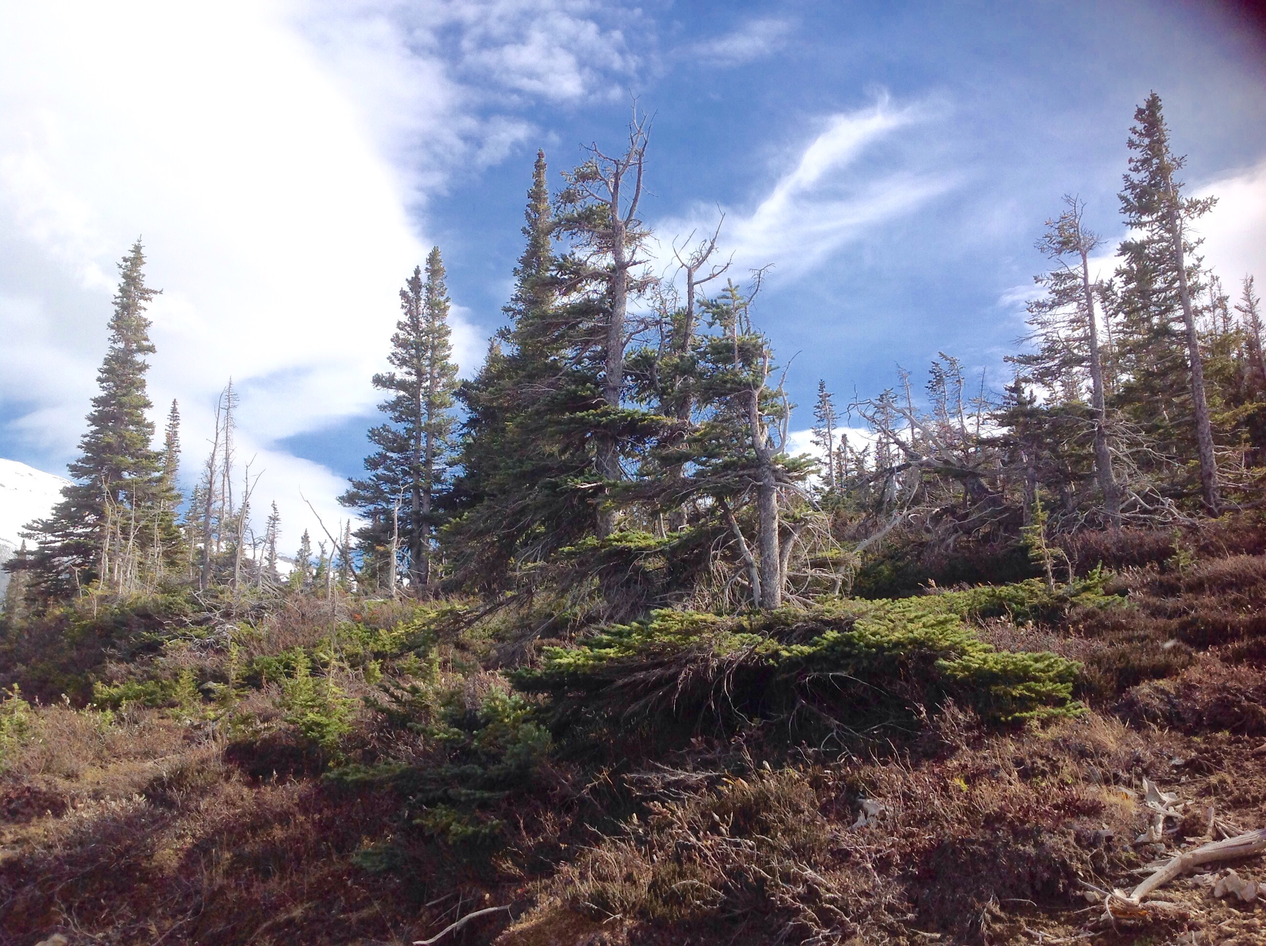
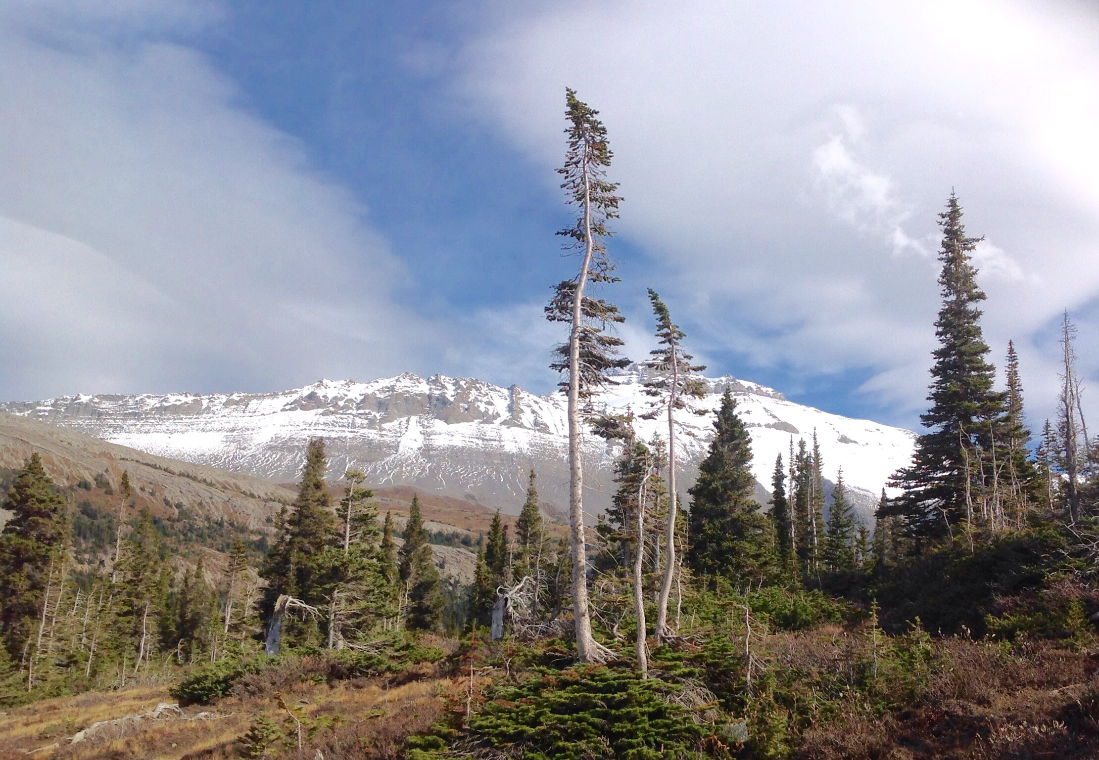
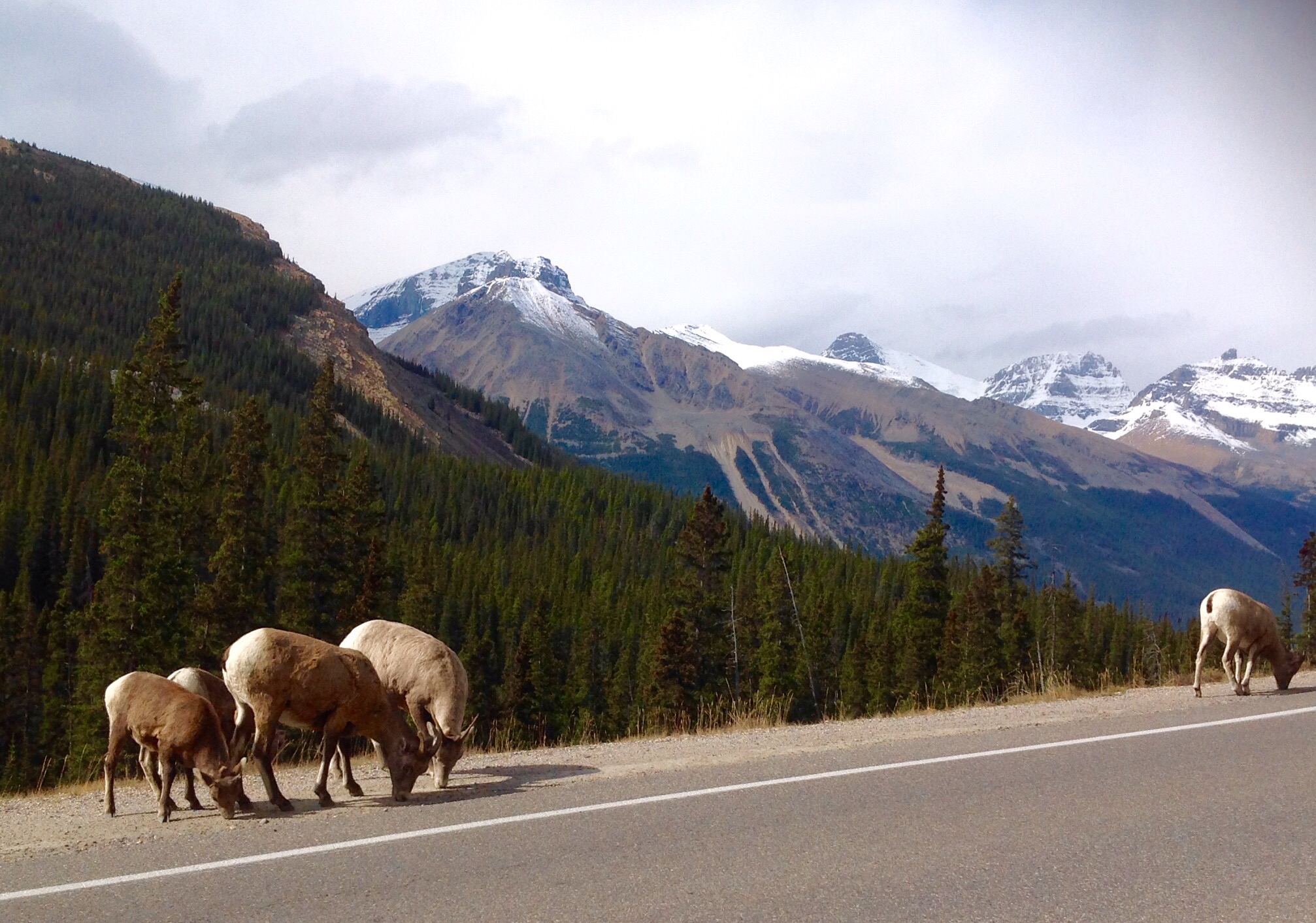
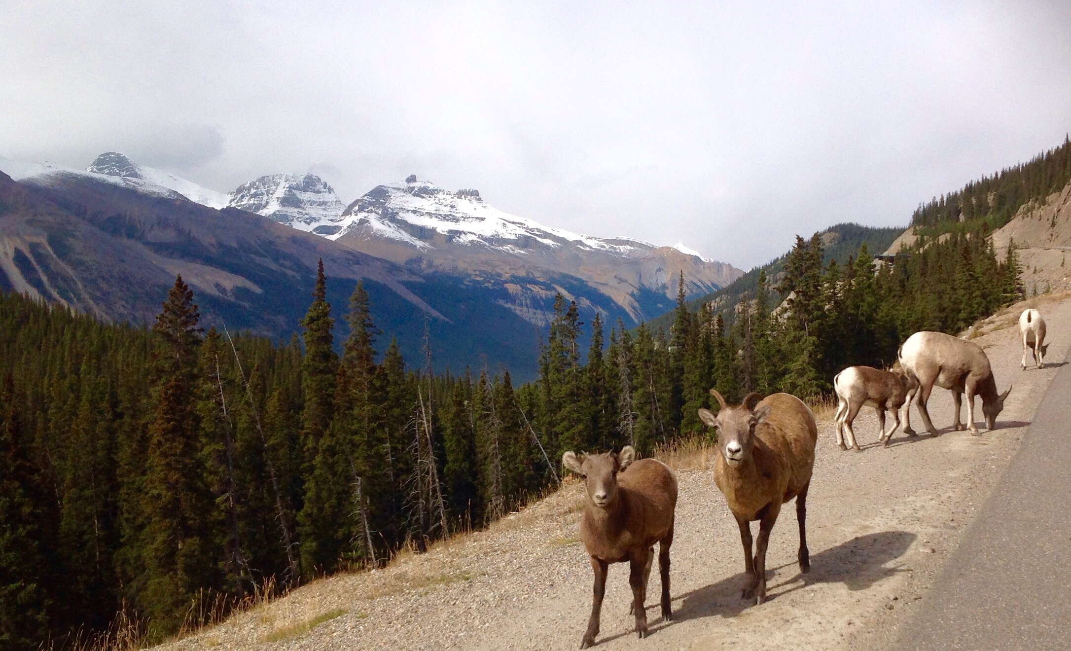
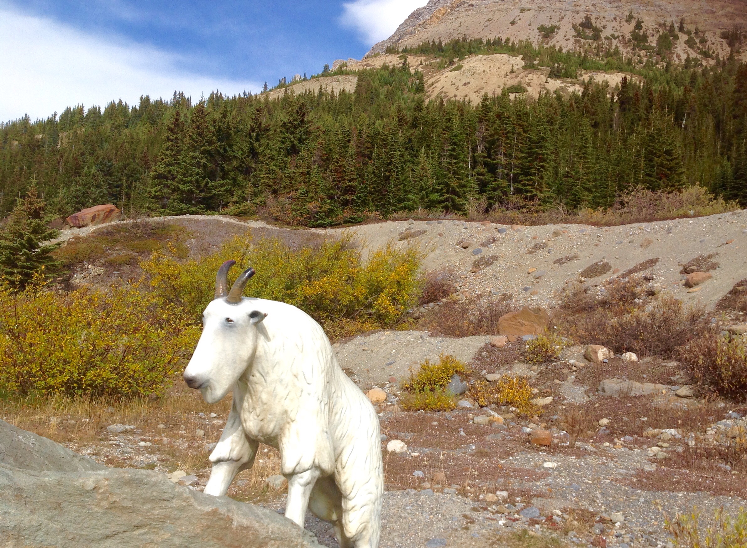
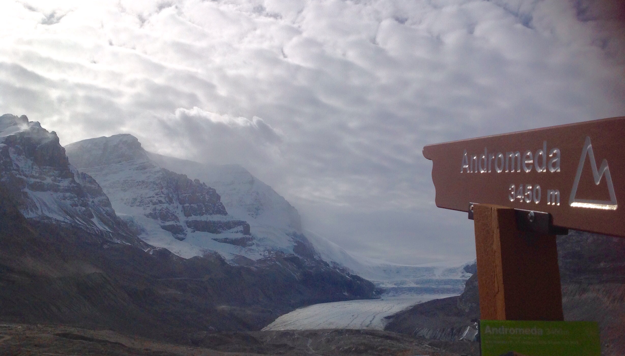
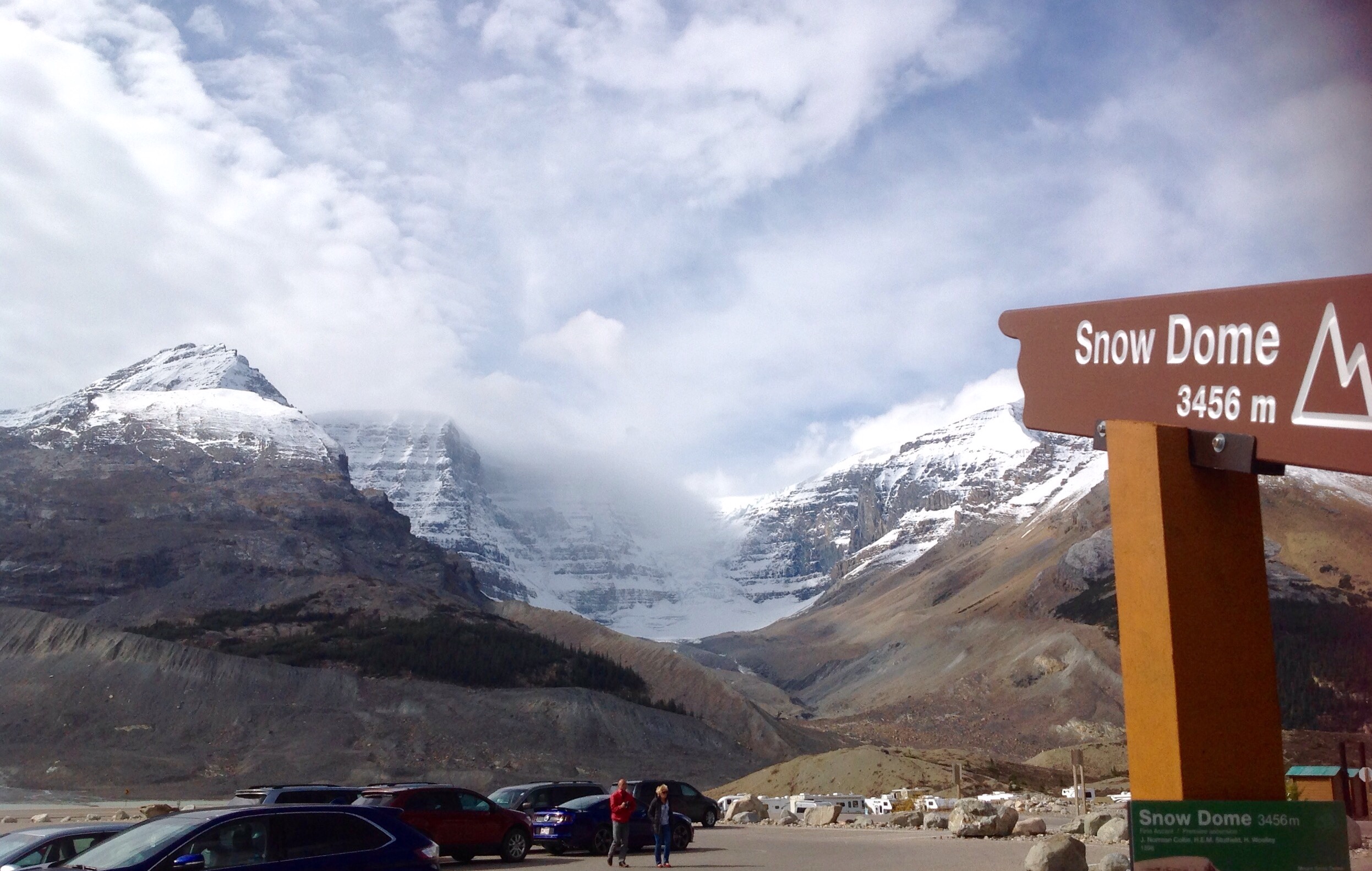
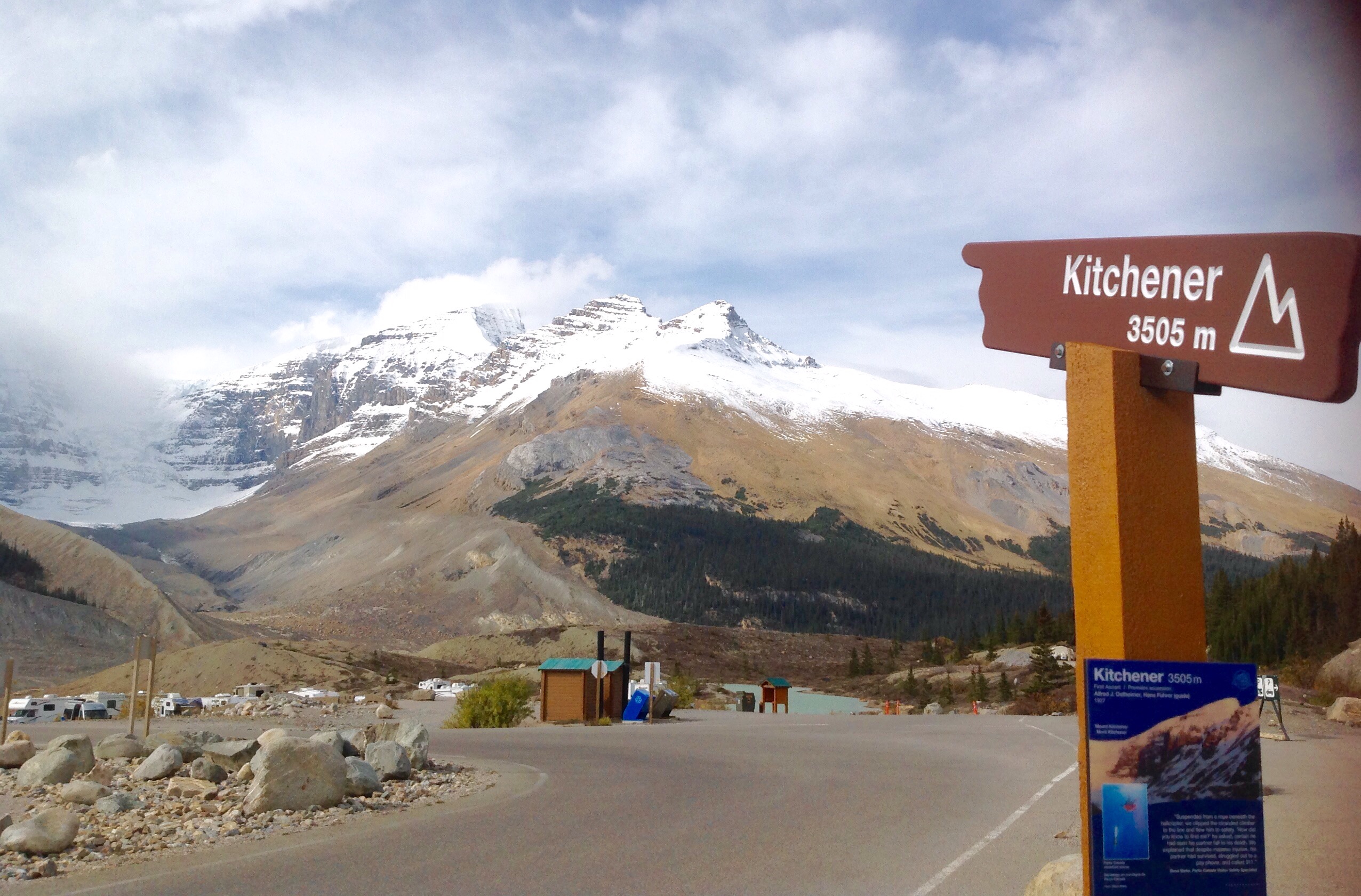
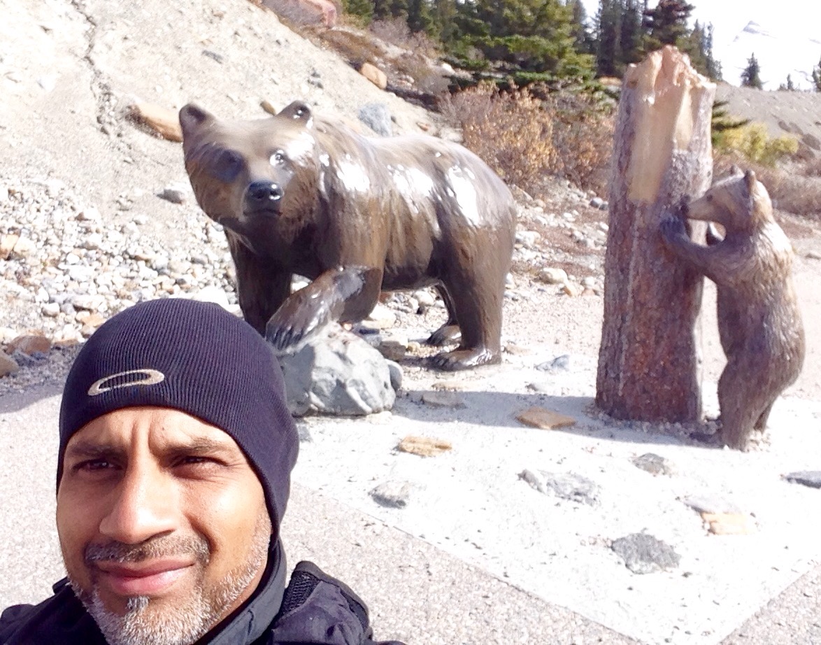
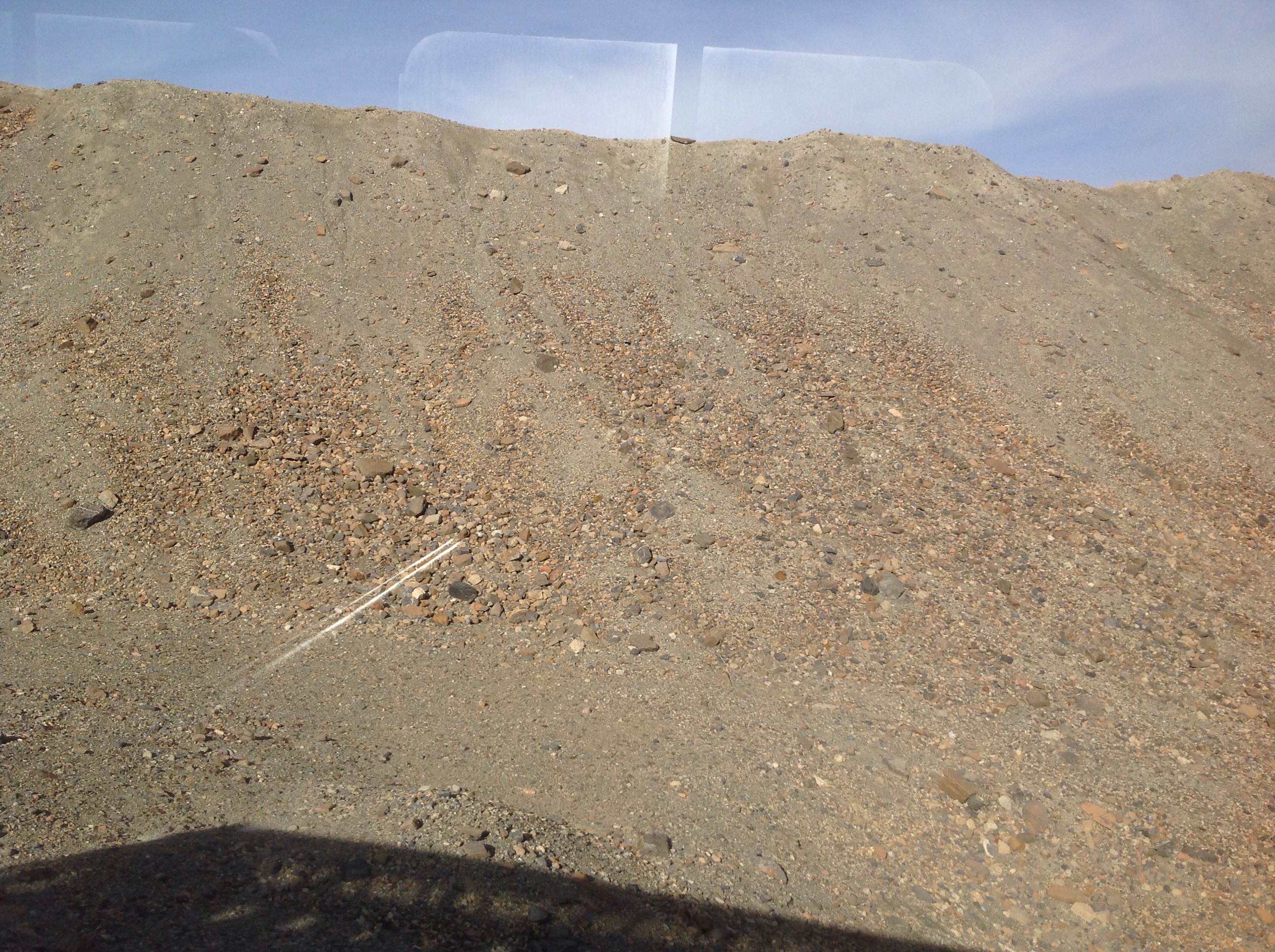
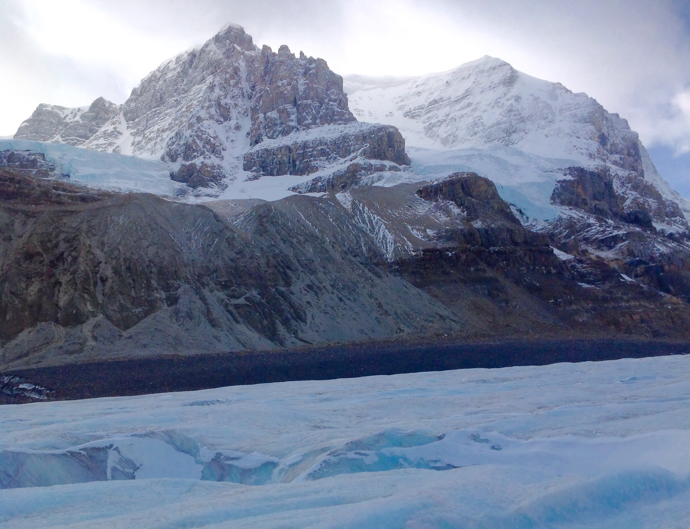
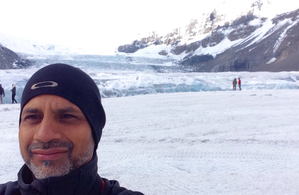
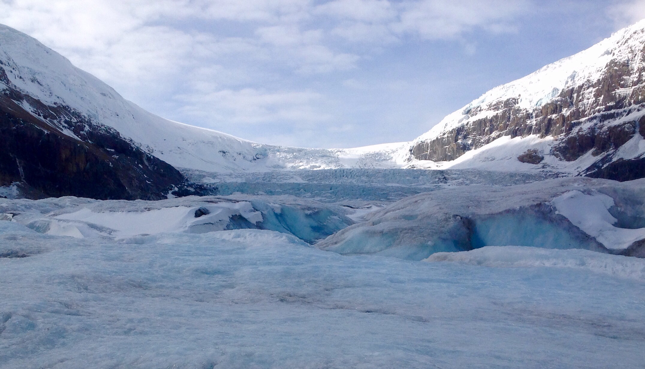
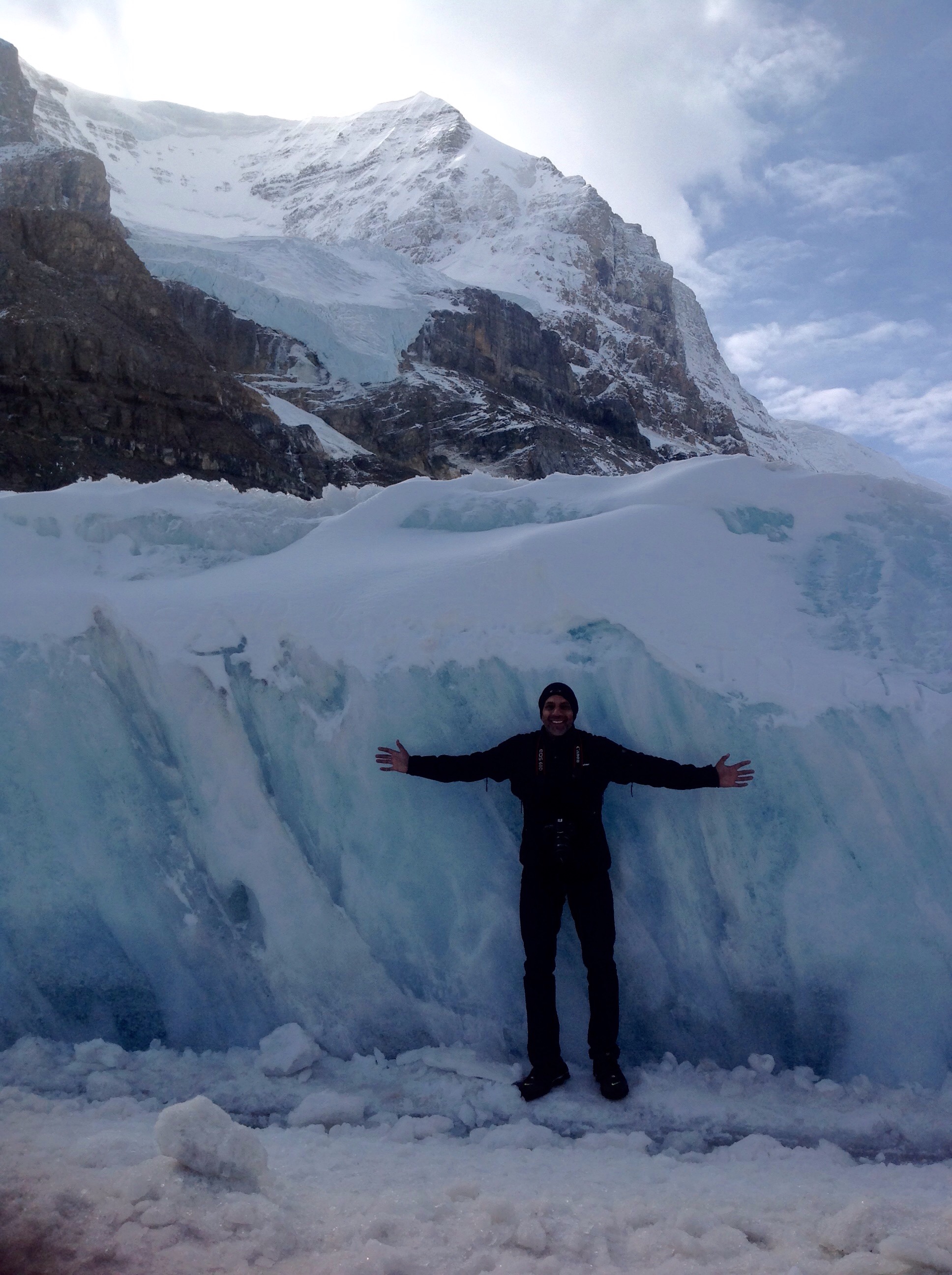
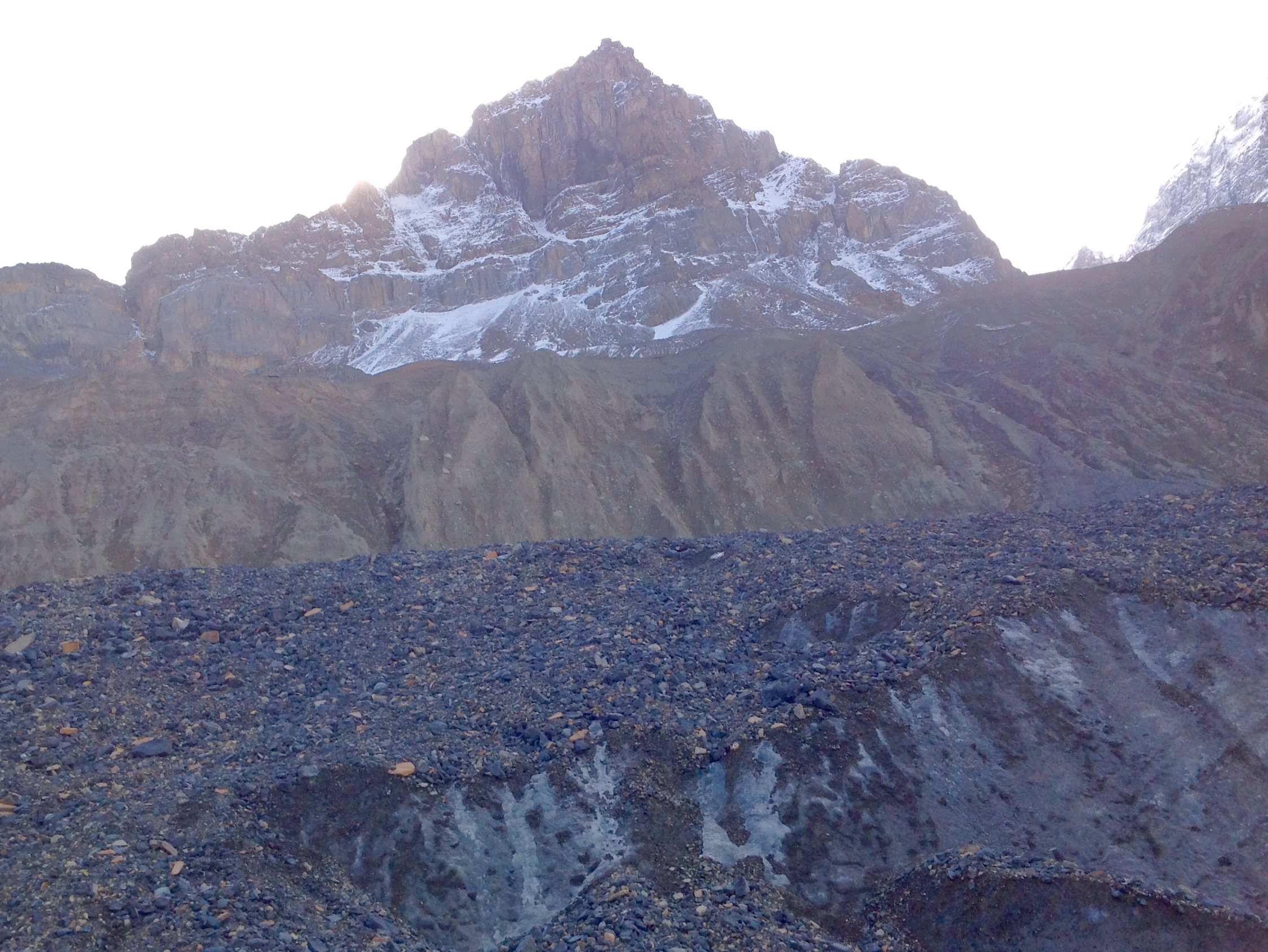
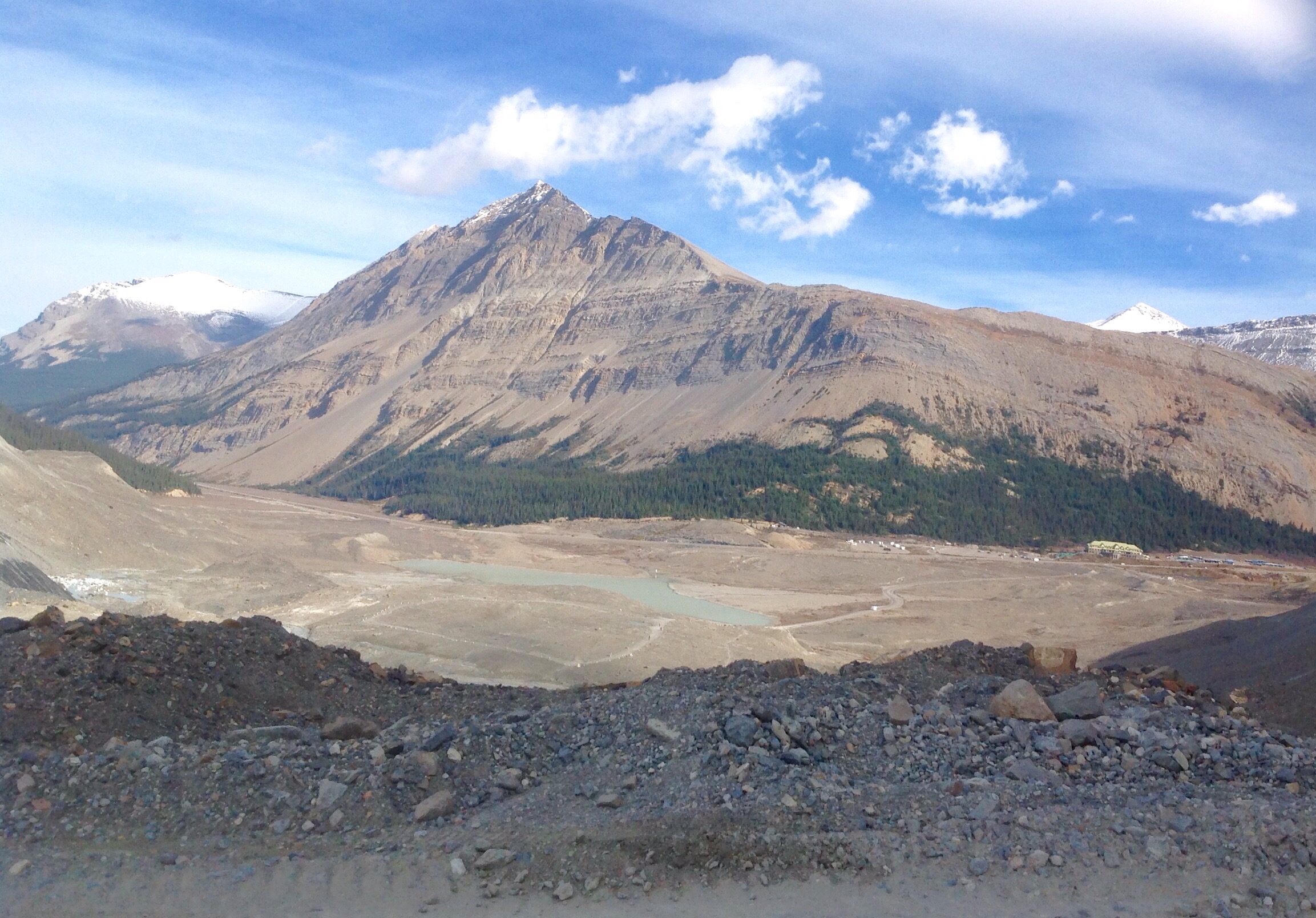
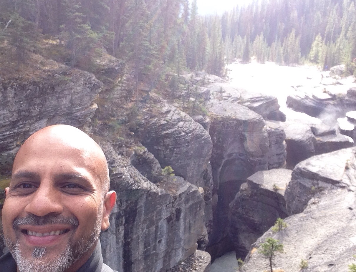
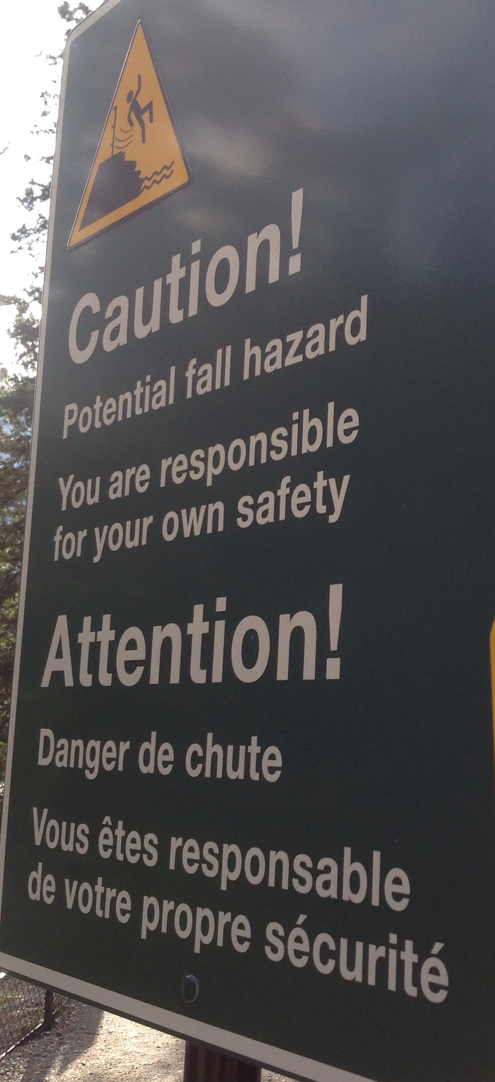
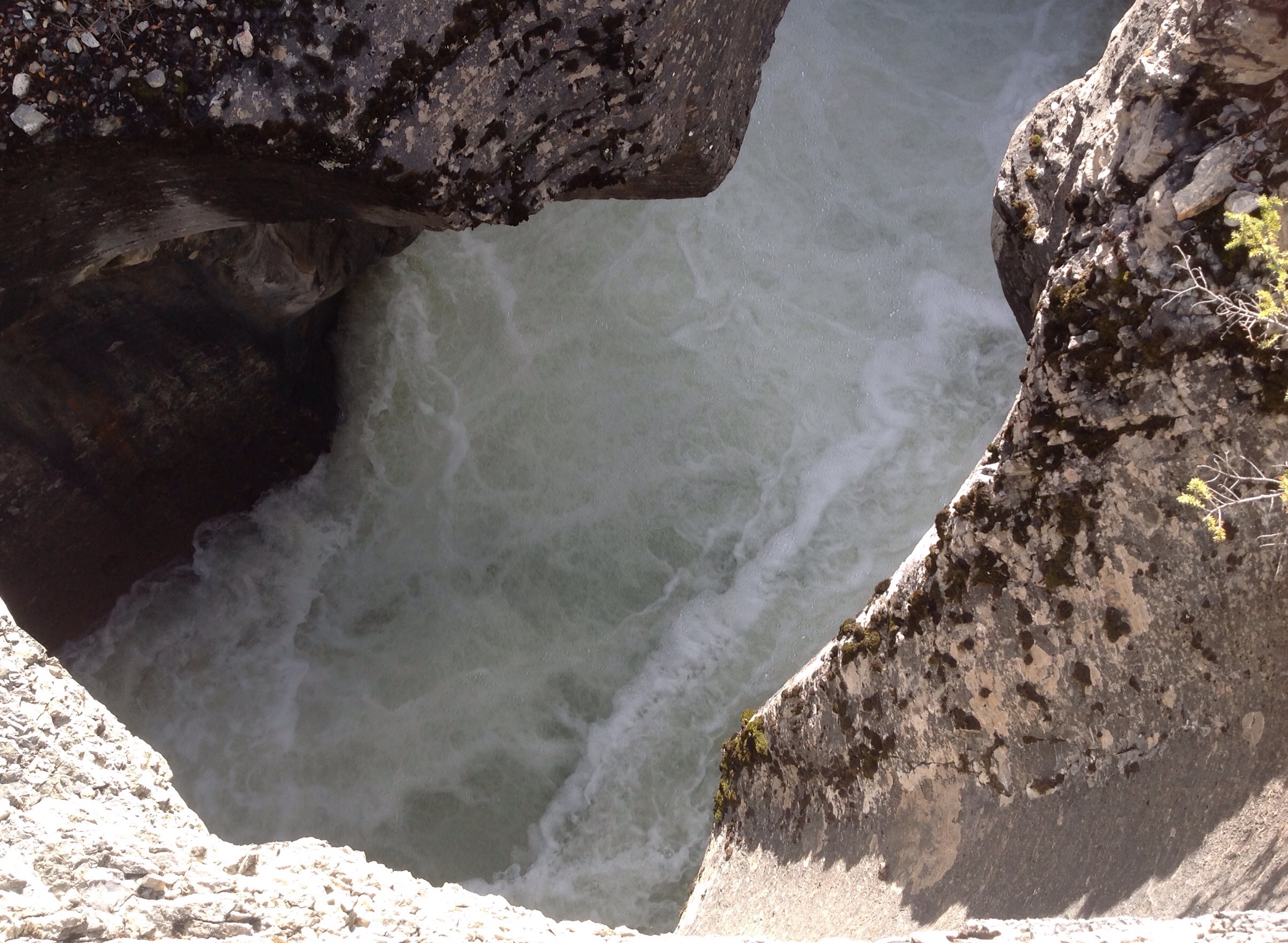
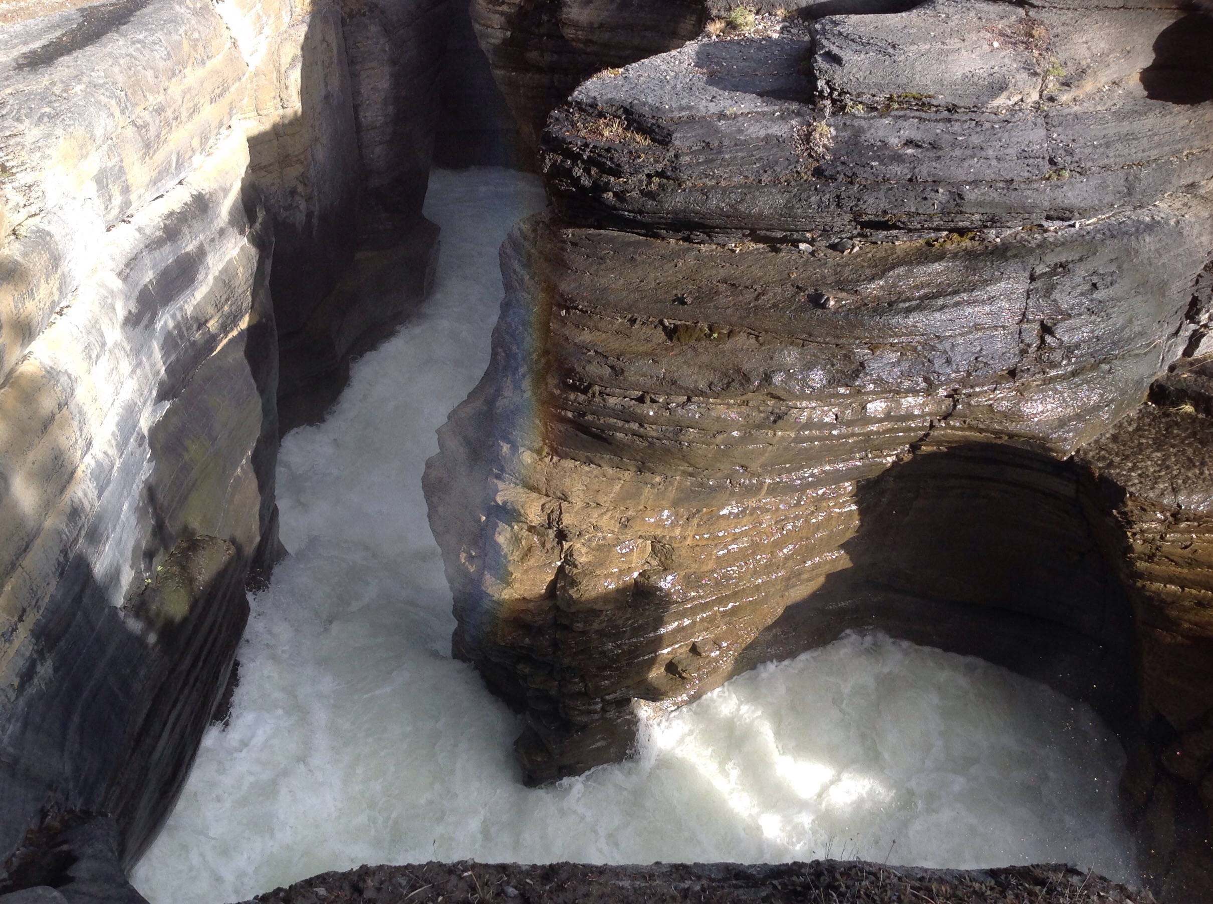
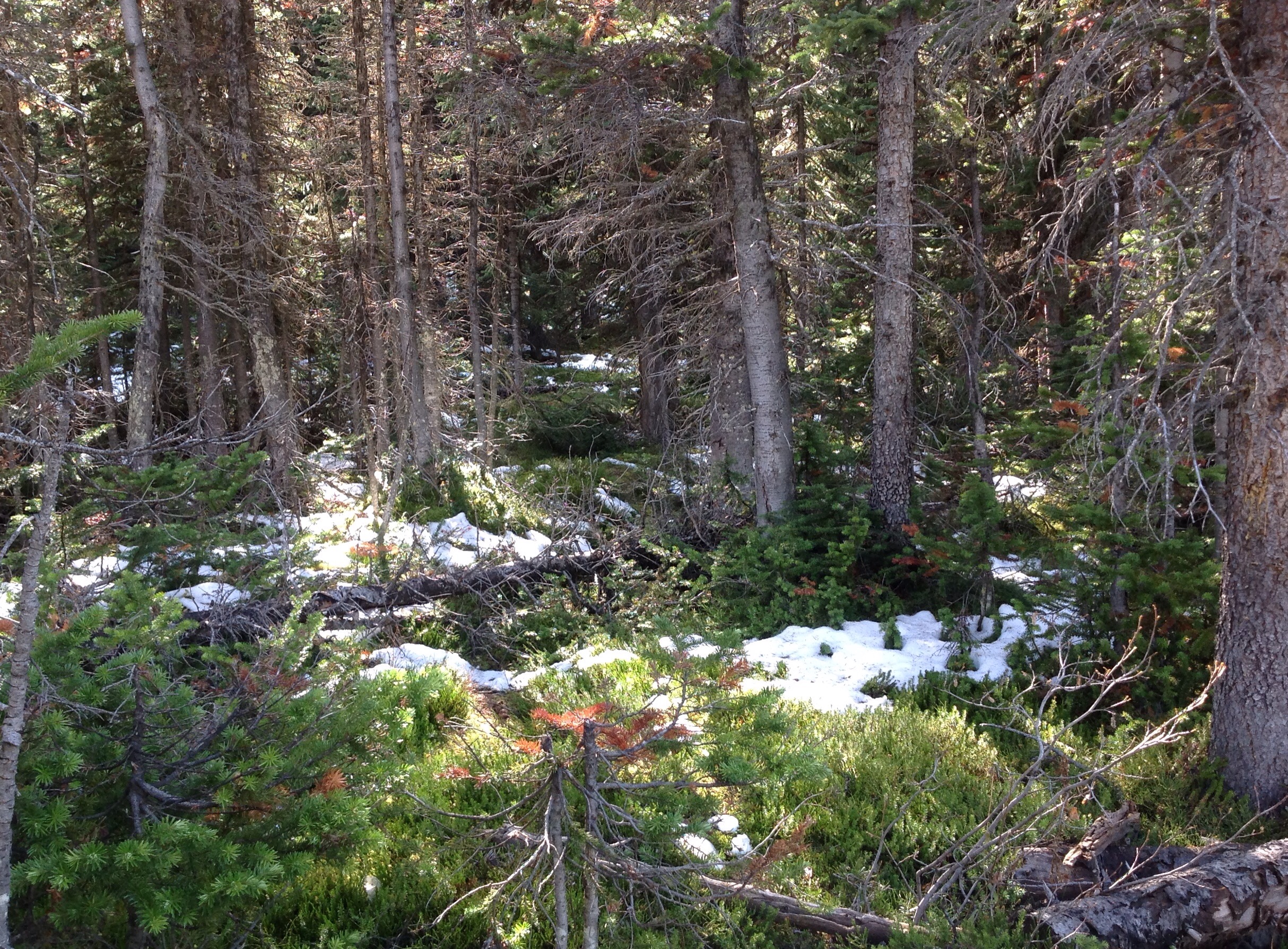
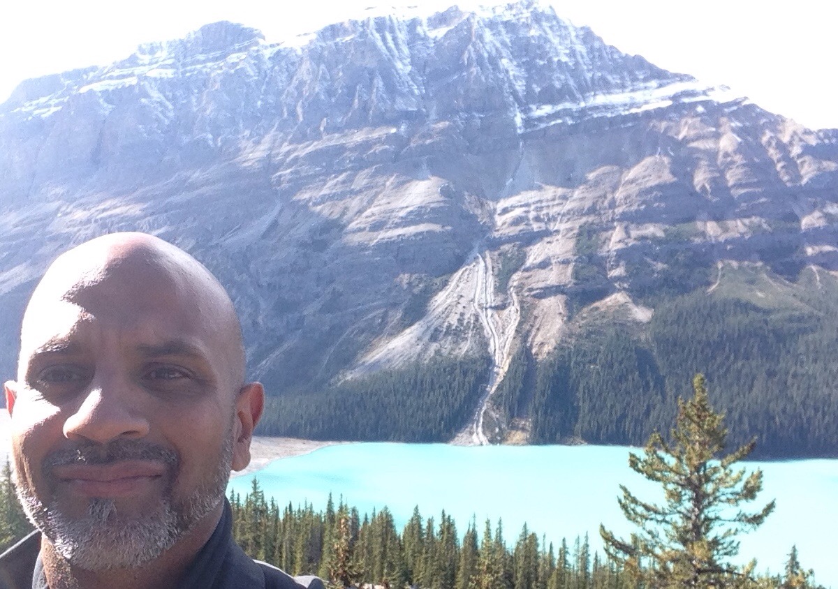
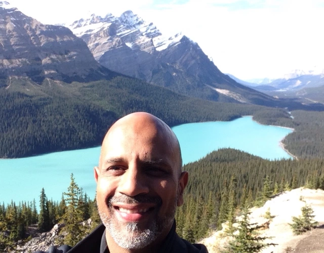
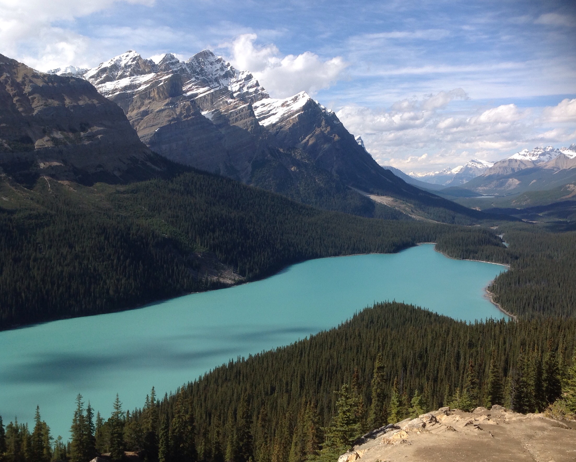
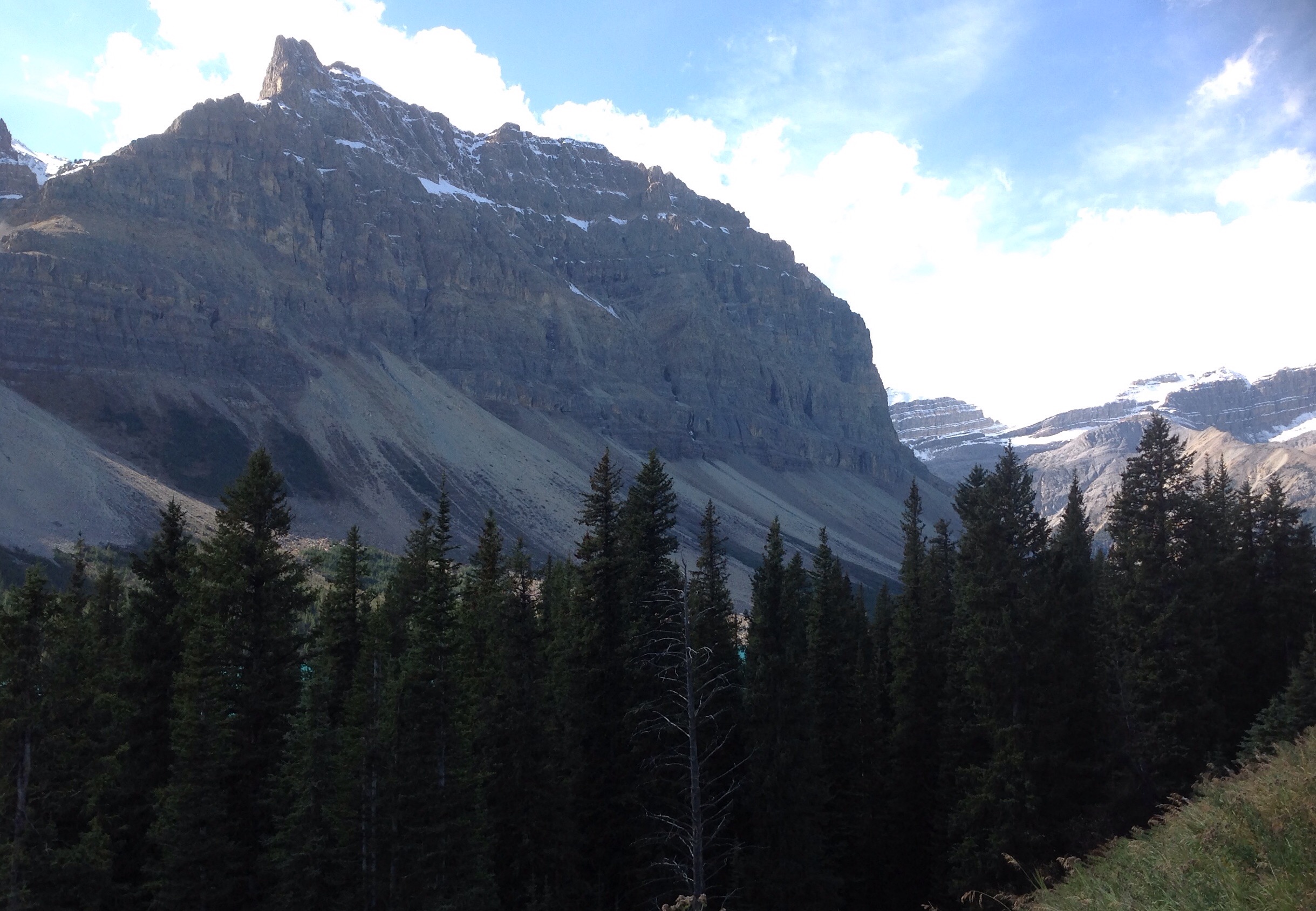
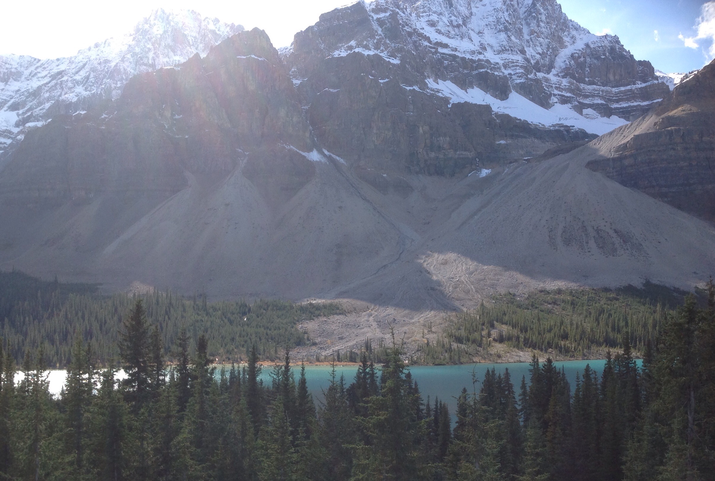
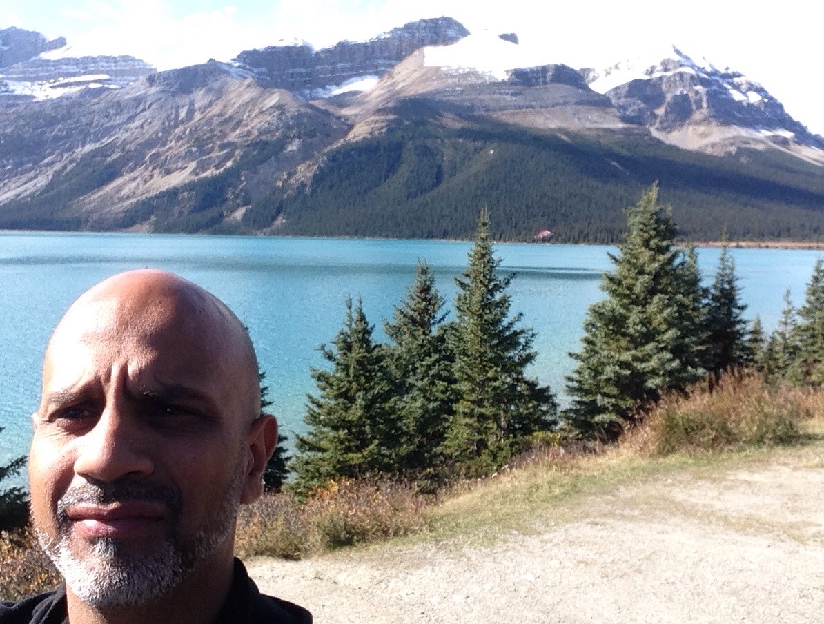
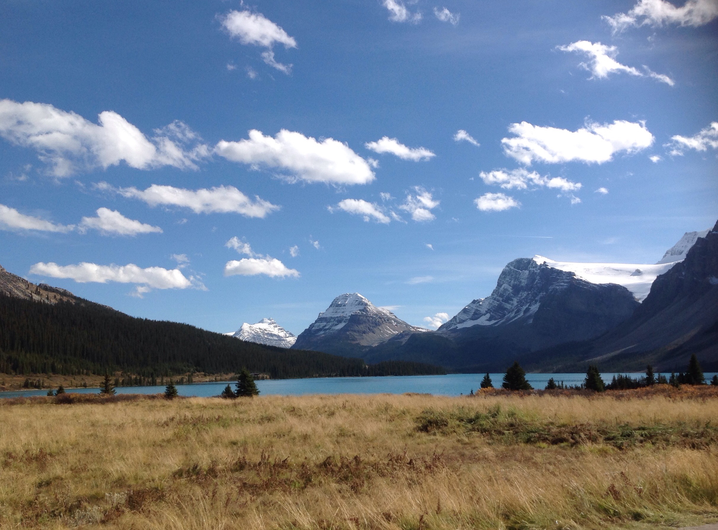
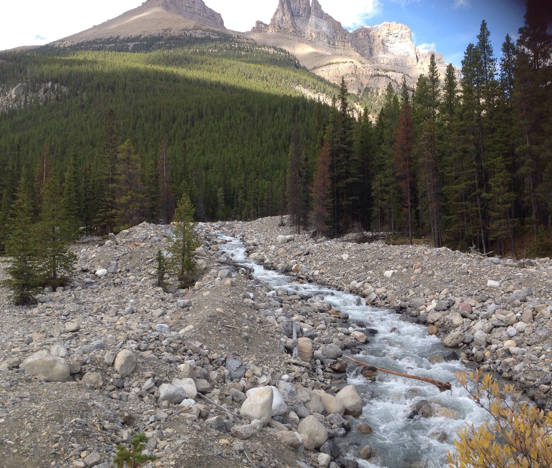
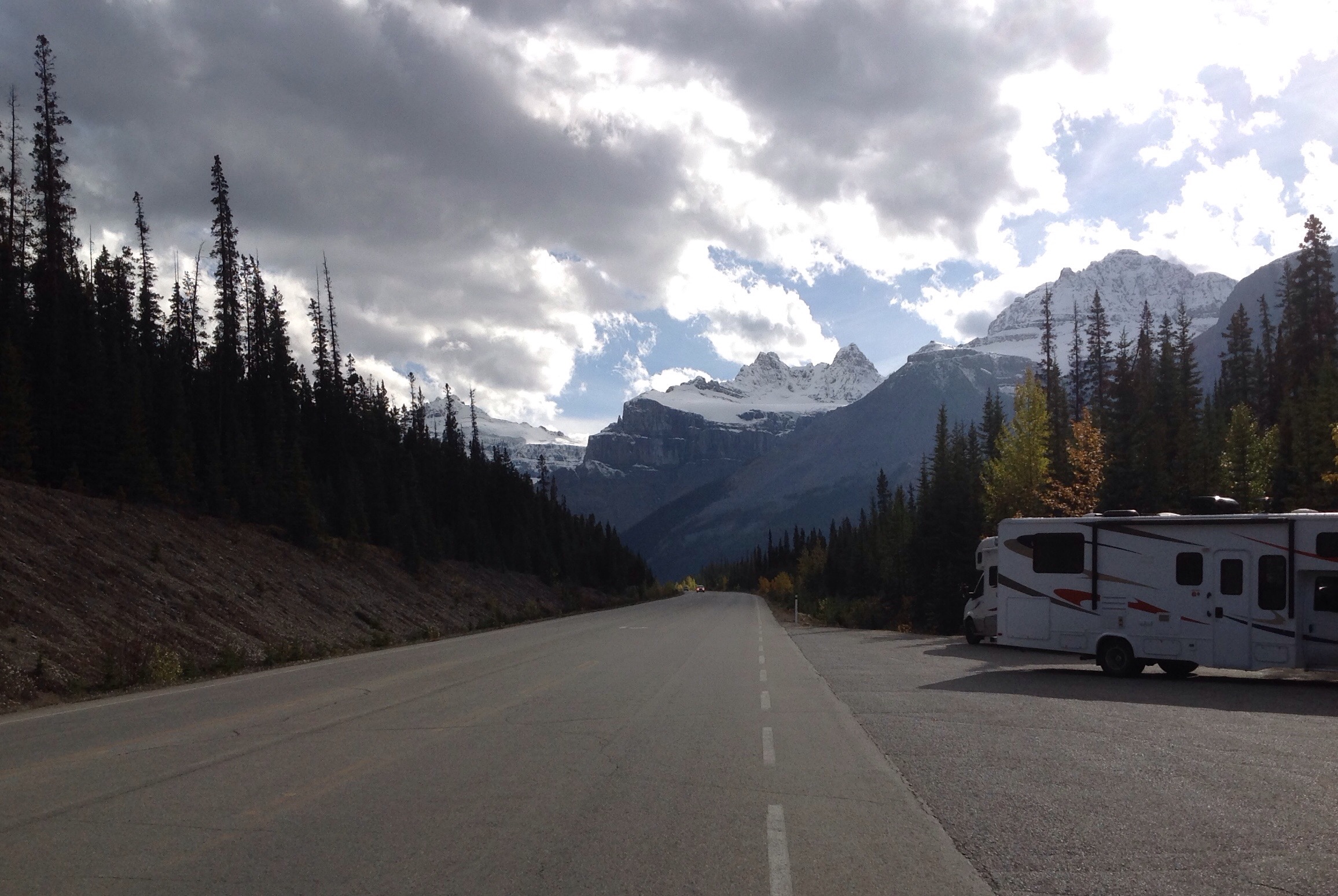
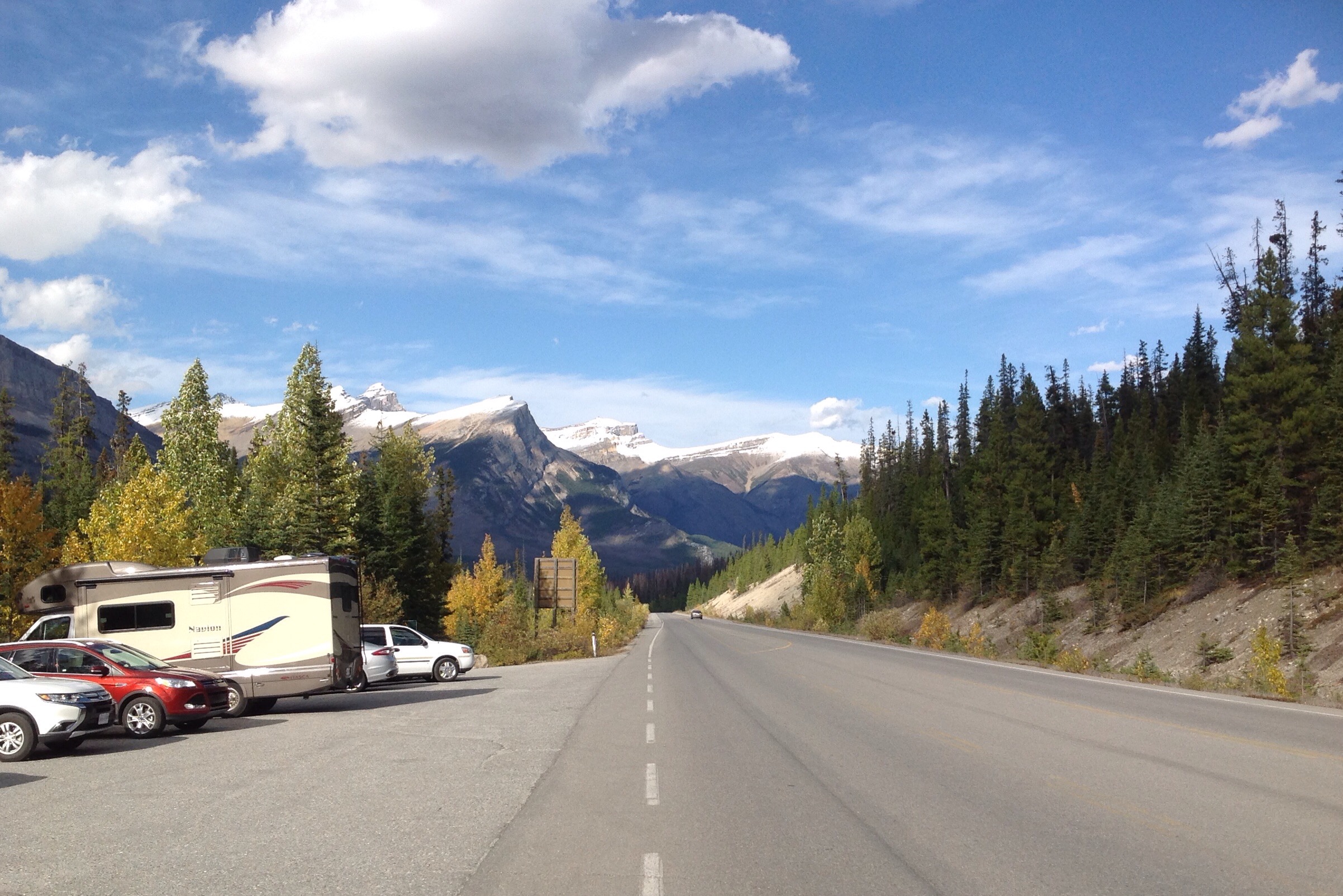
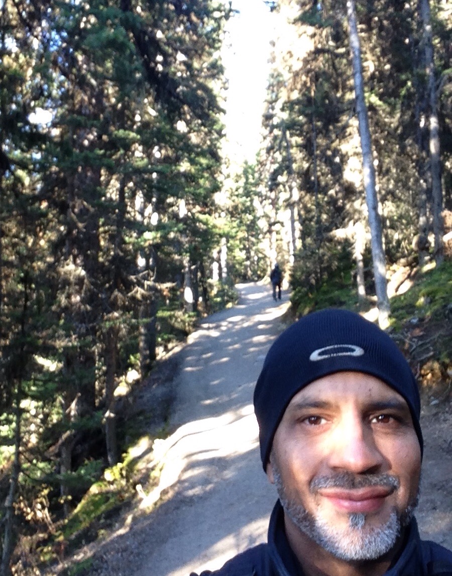
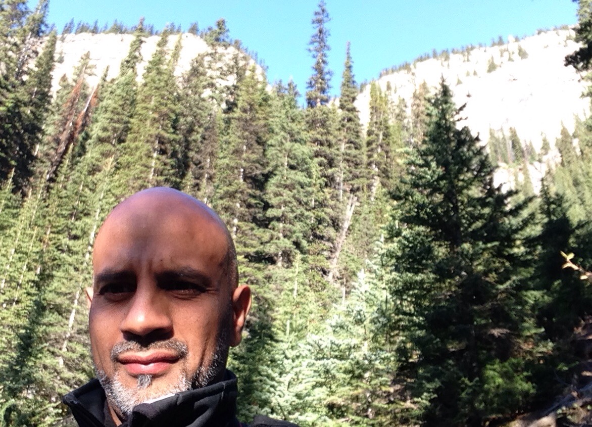
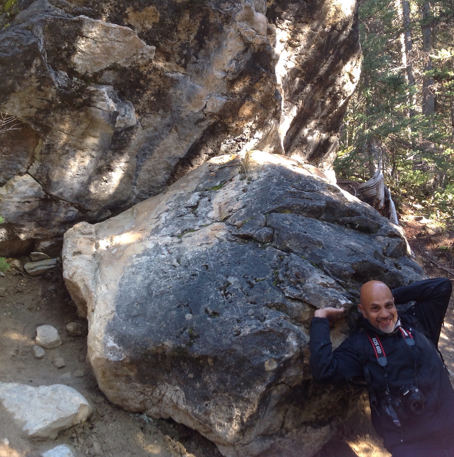
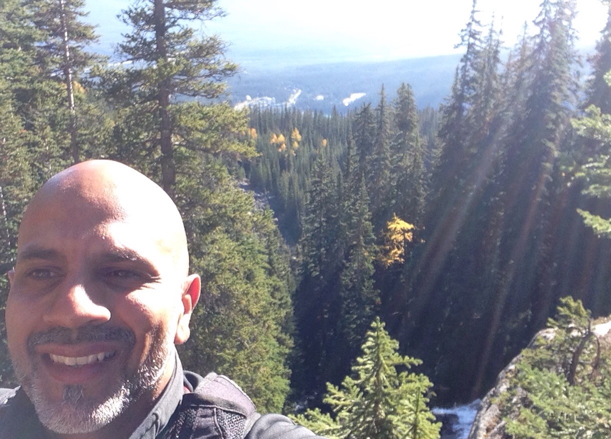
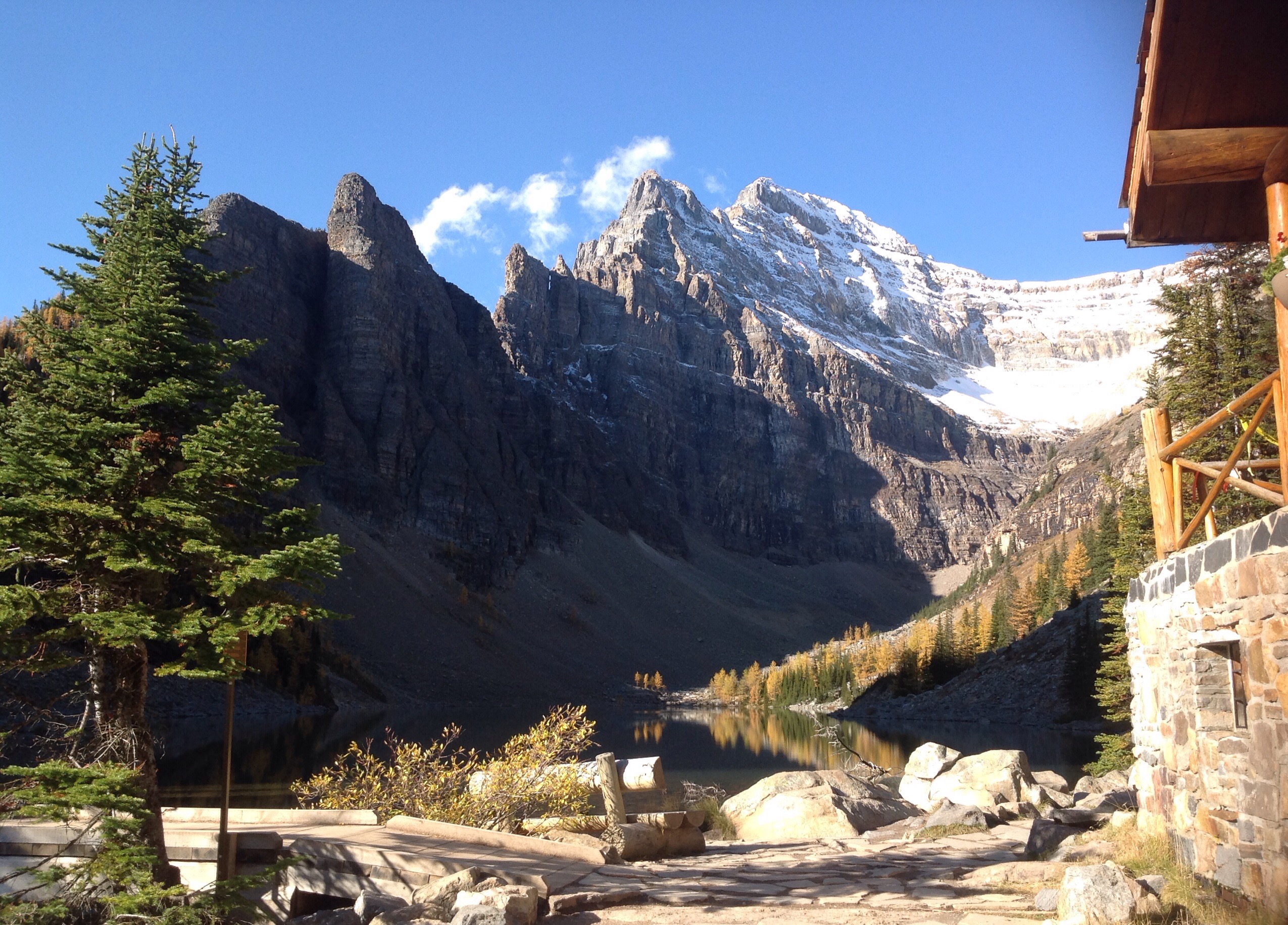
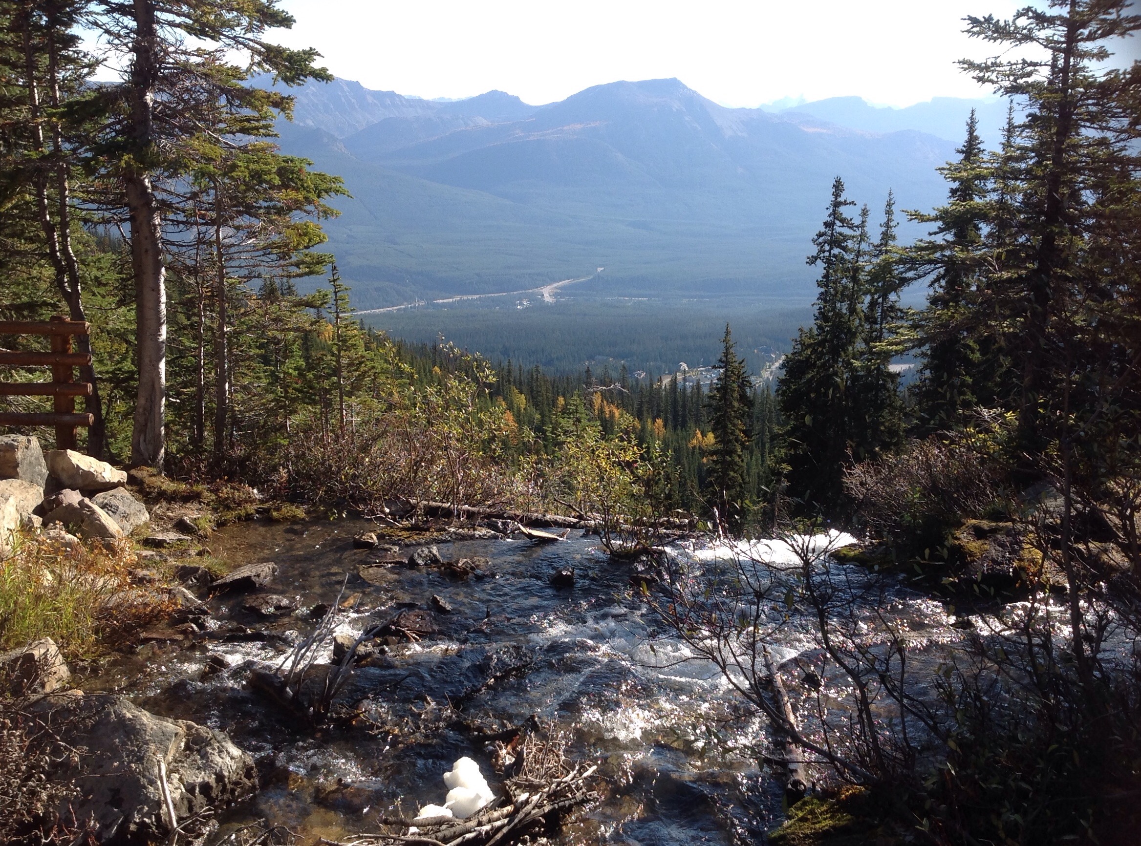
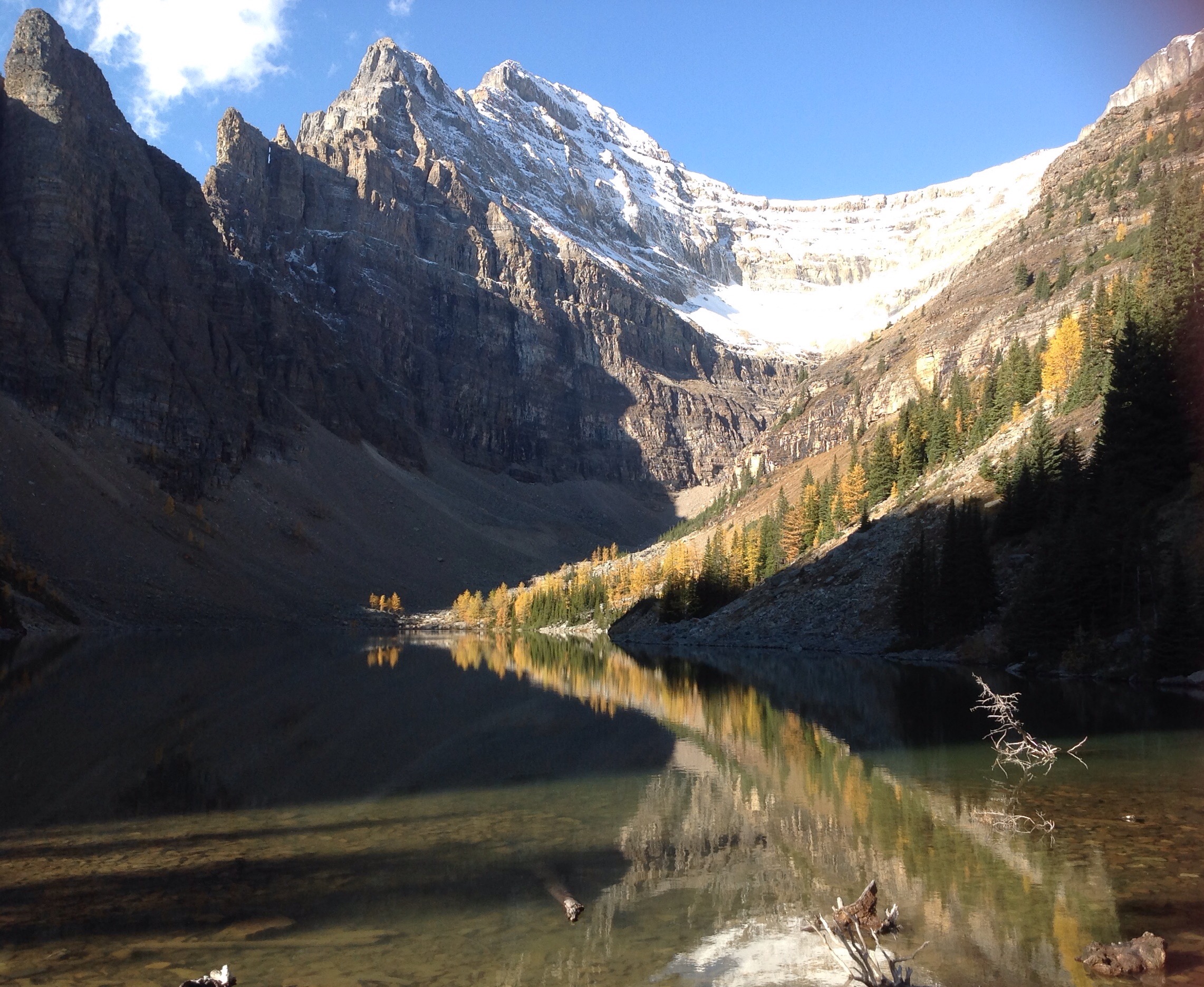
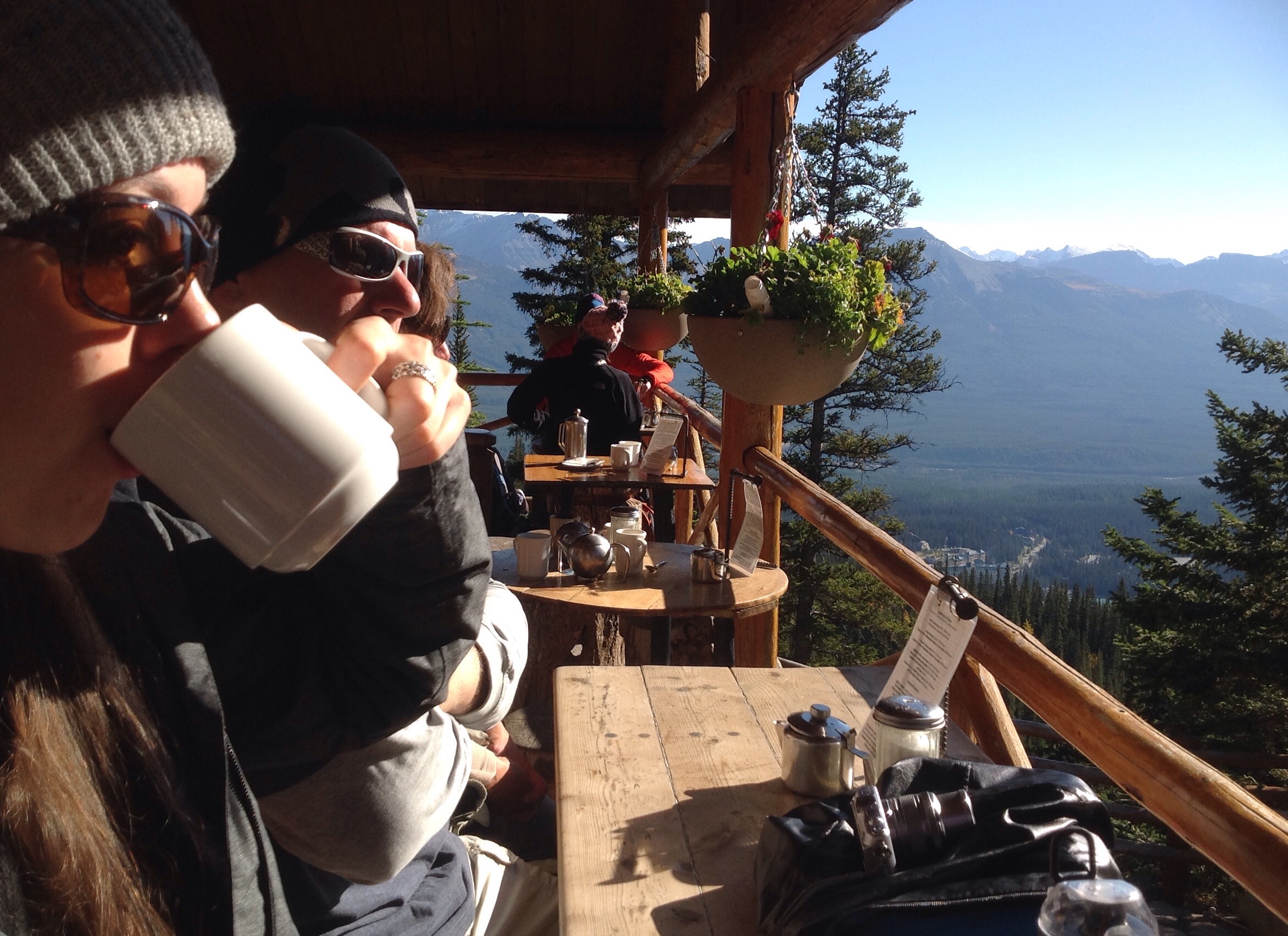
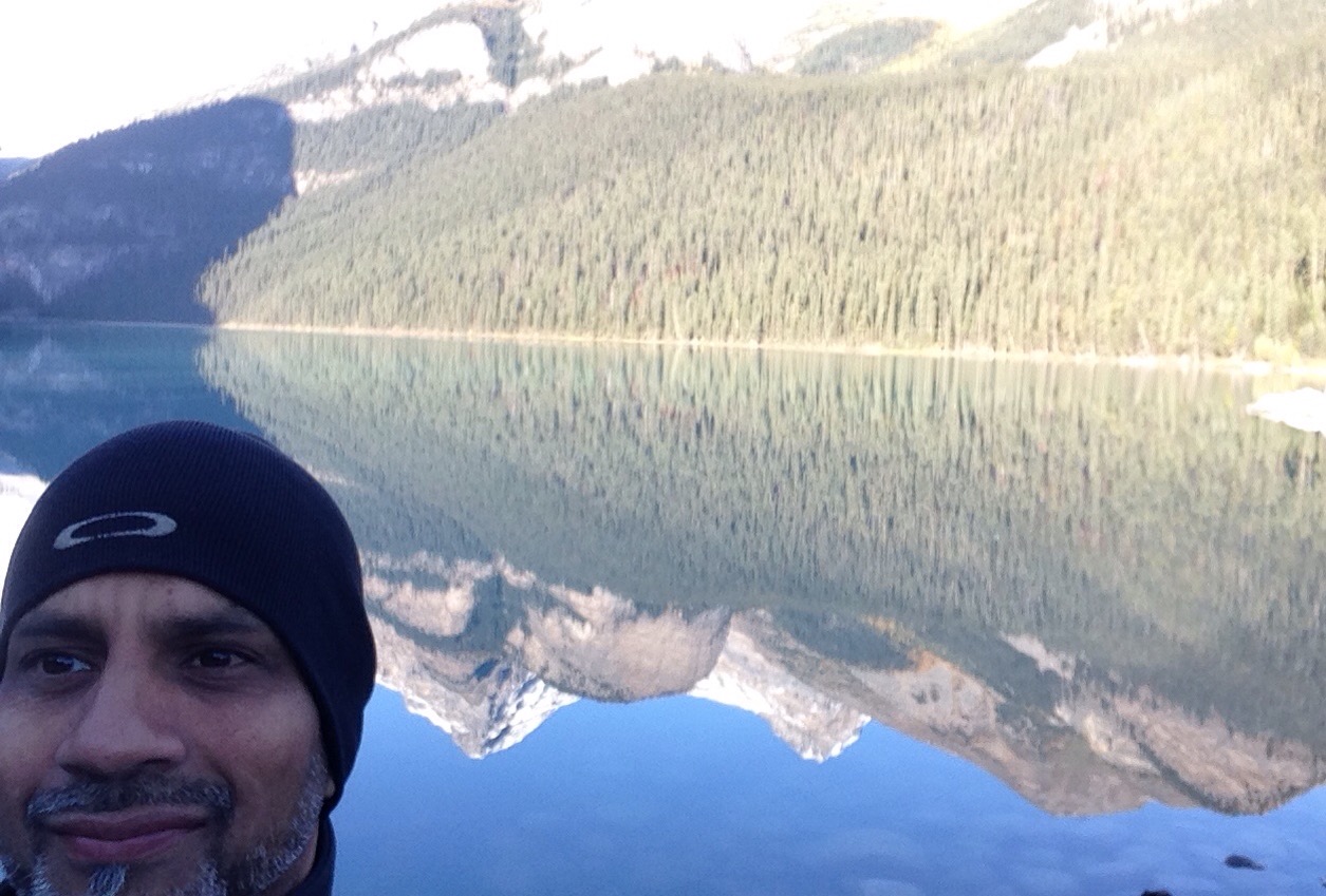
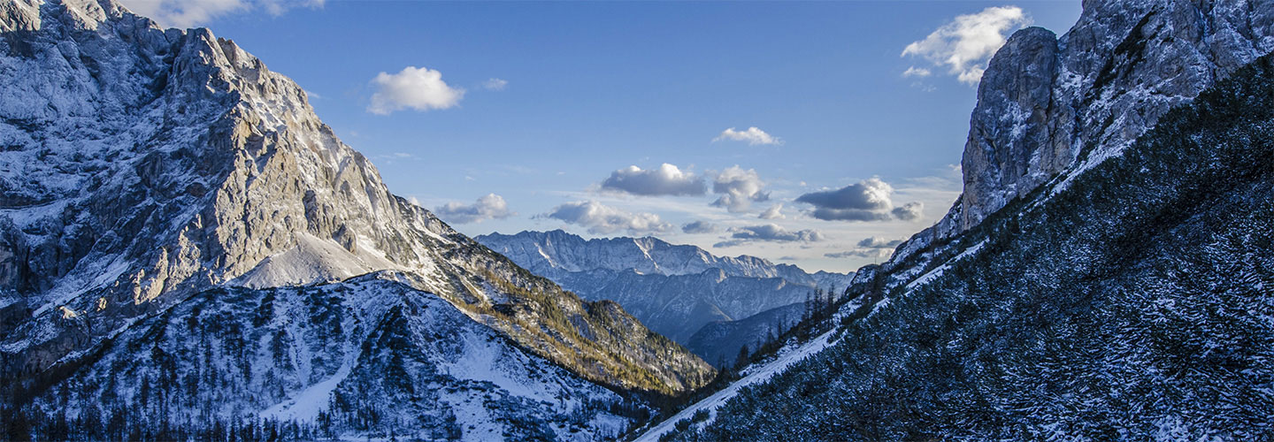
I was advised to watch my step, not just for loose rocks but lots of poo from mountain goats which were seen frequently in these mountains. The hike was great and I was full of adrenaline as I was the only one on the mountain, unfortunately I did not see the wildlife I wanted to but thoroughly enjoyed myself…and as you can see the views are totally incredible and exhilarating.
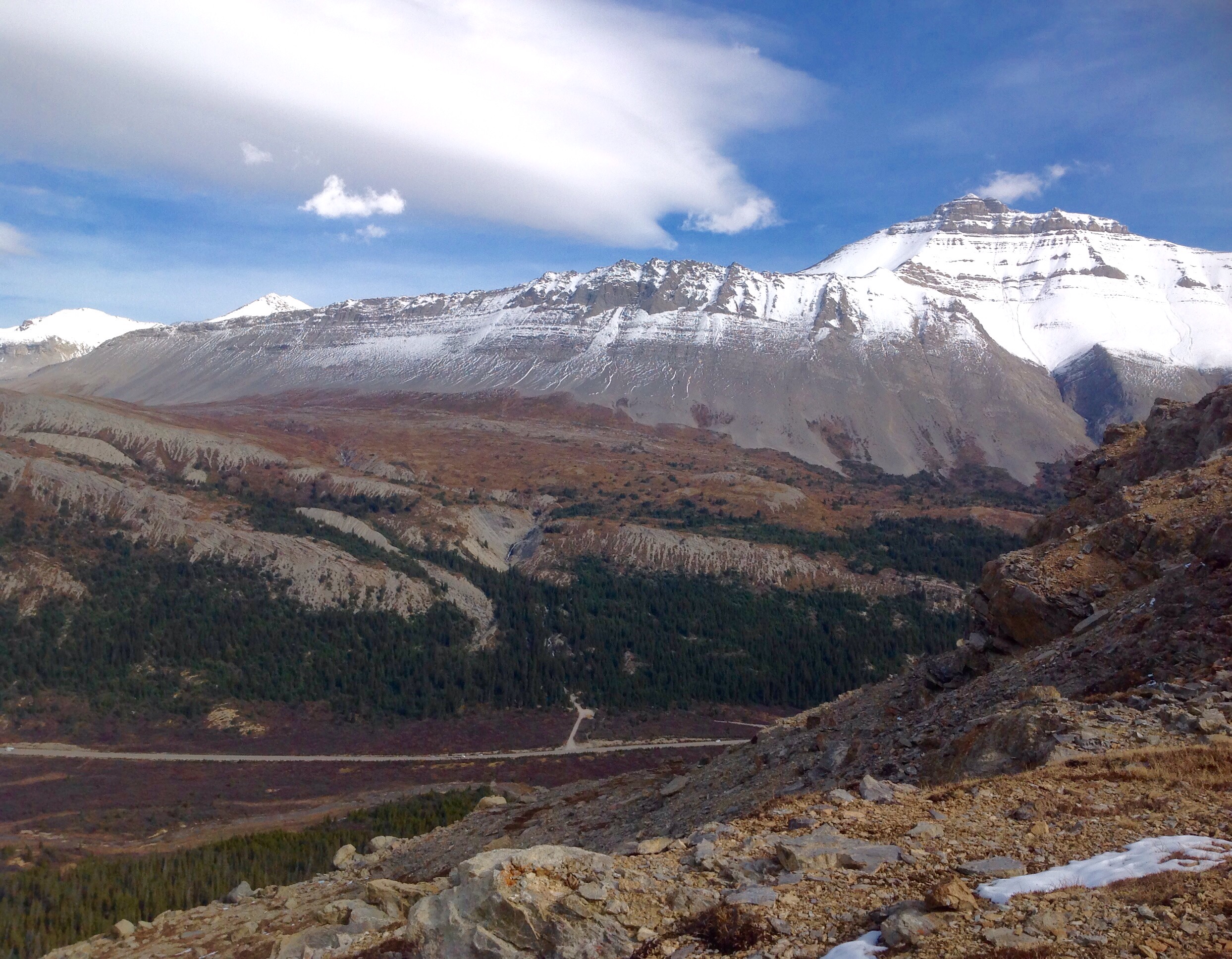
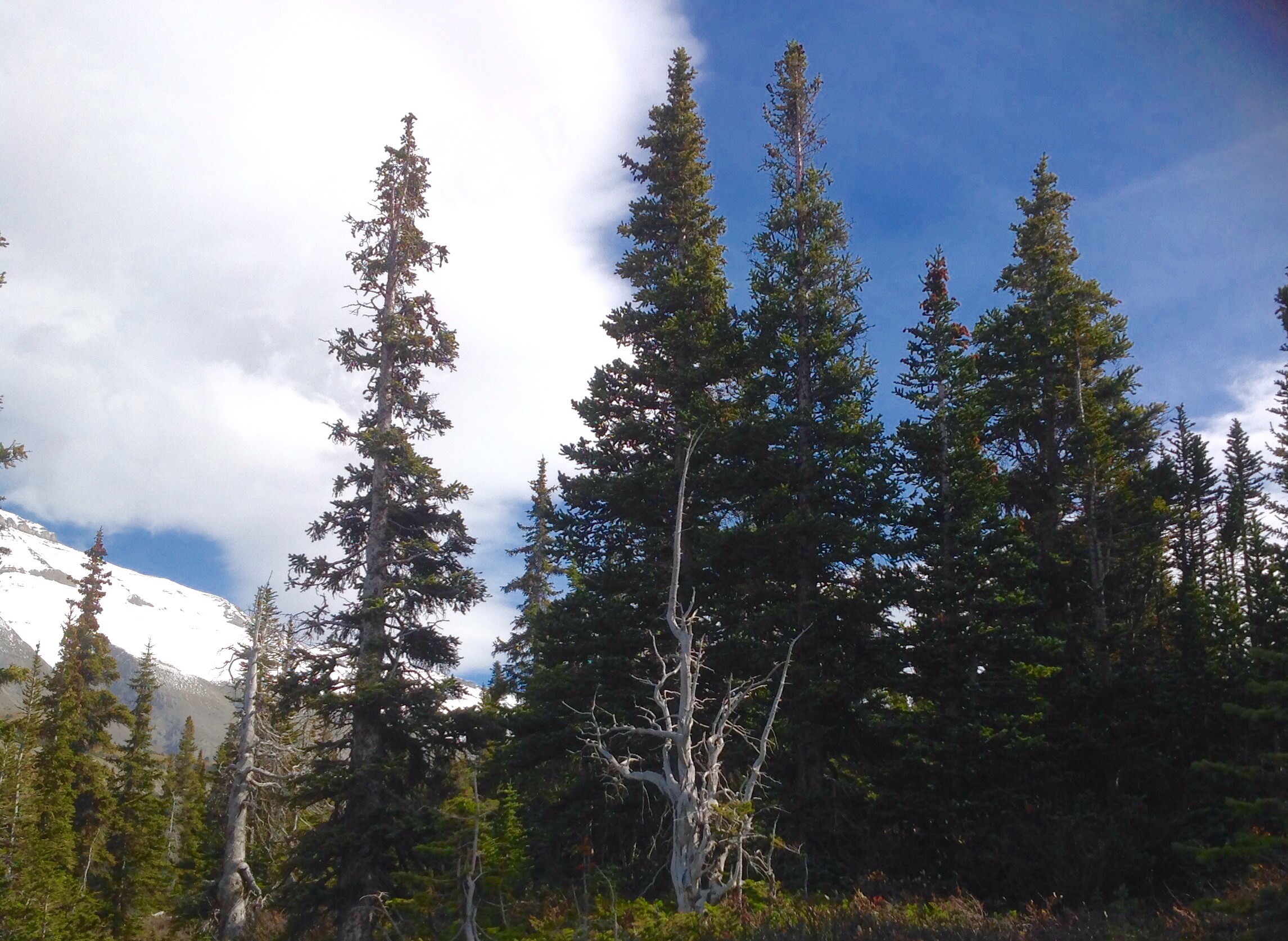
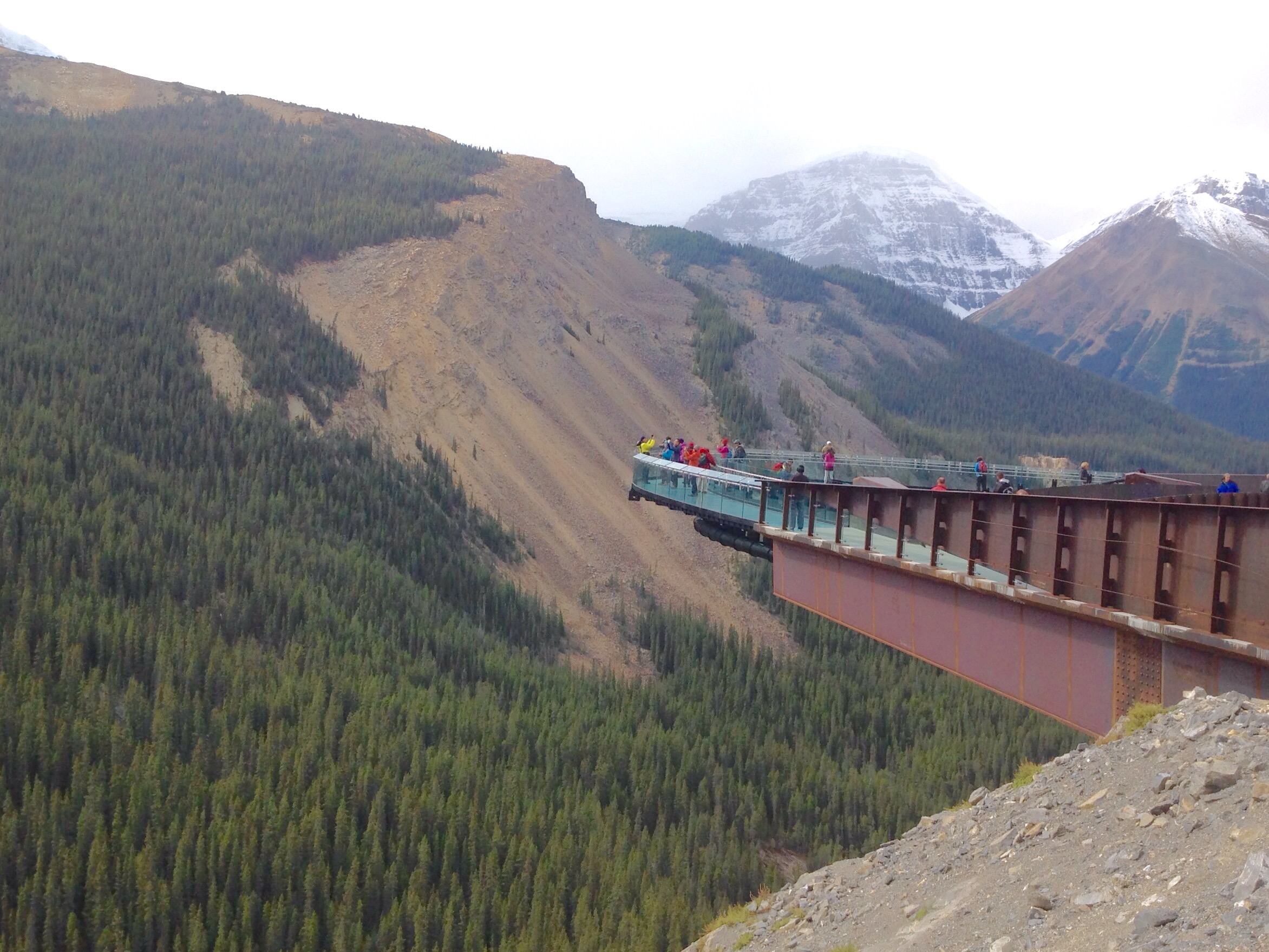
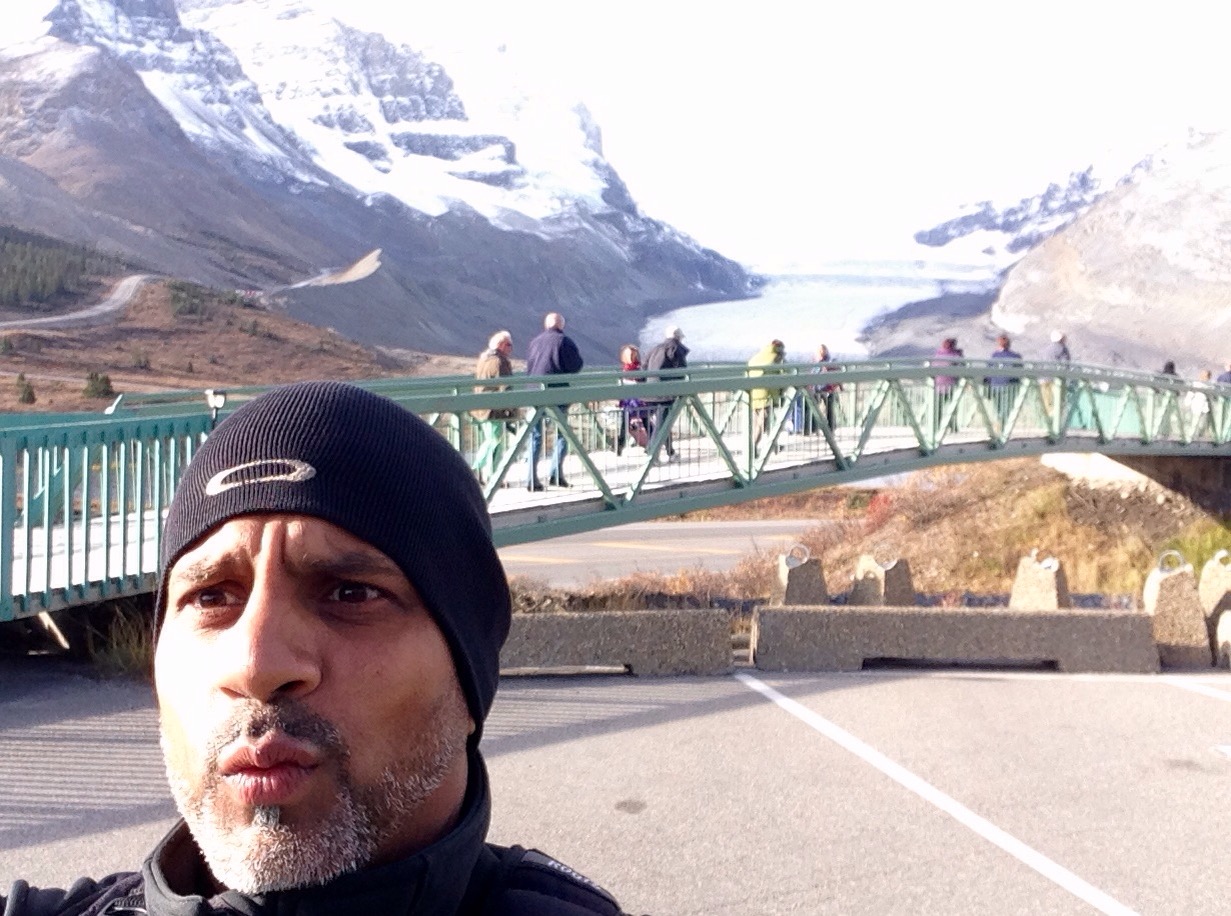
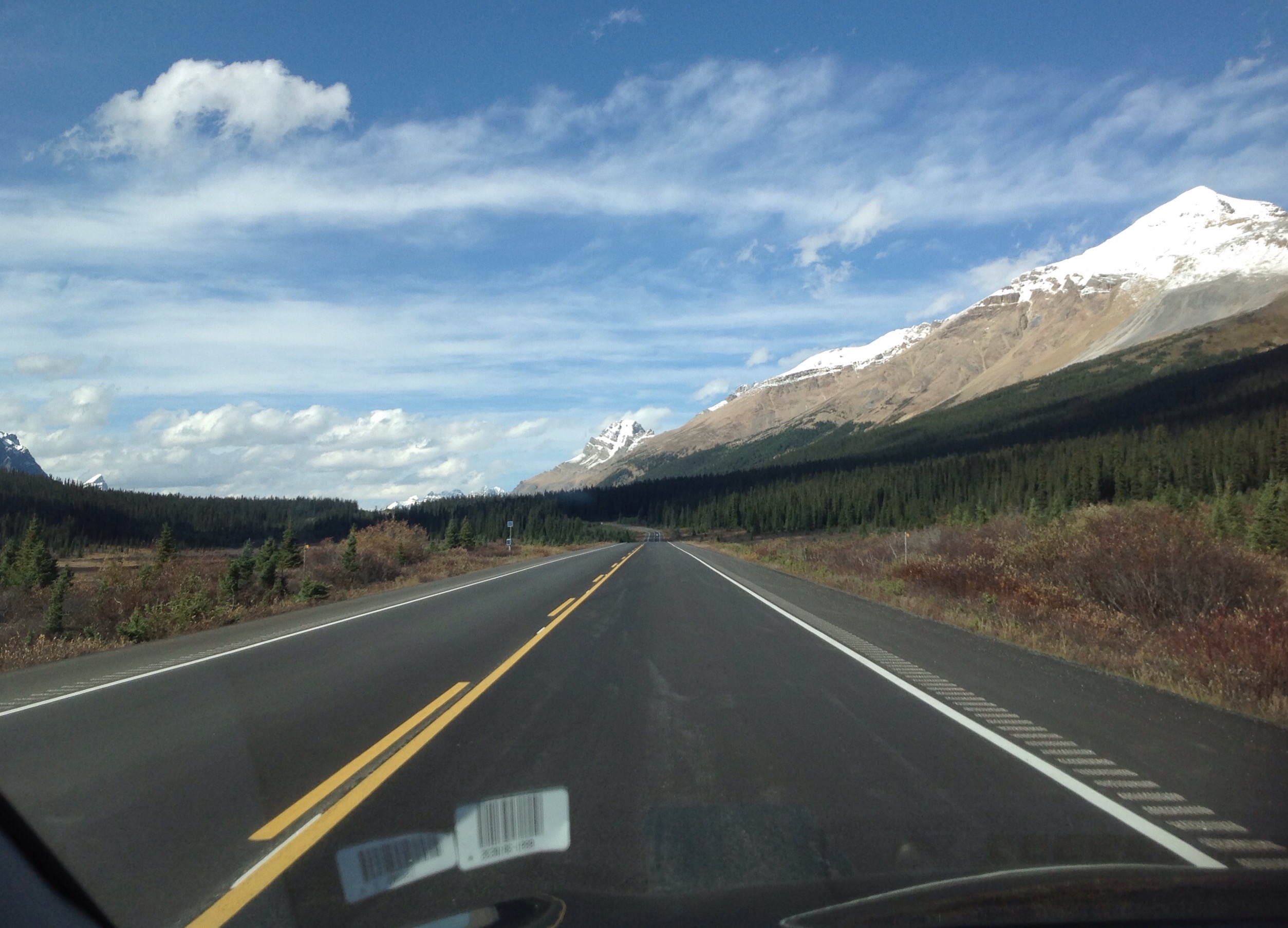
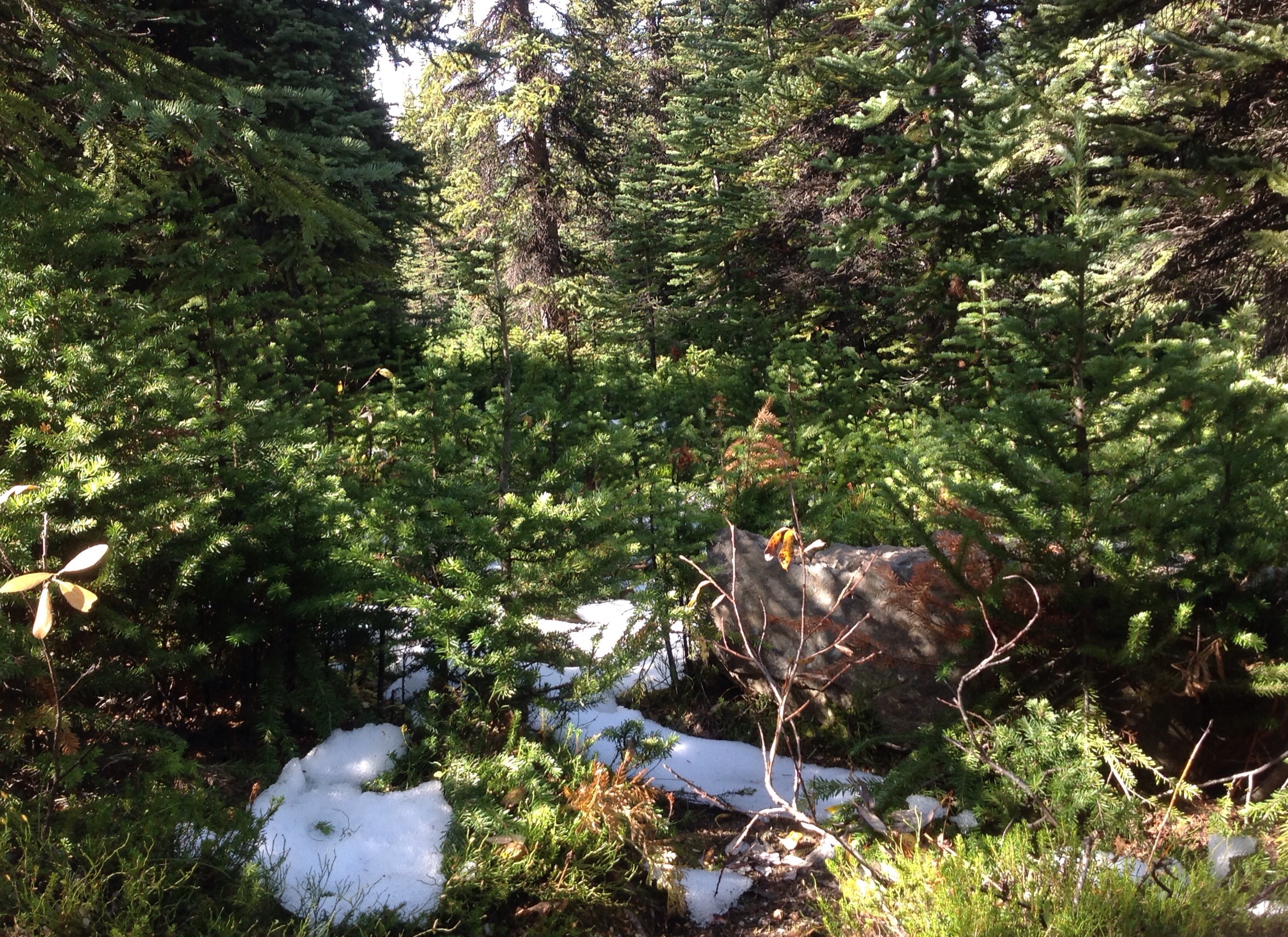
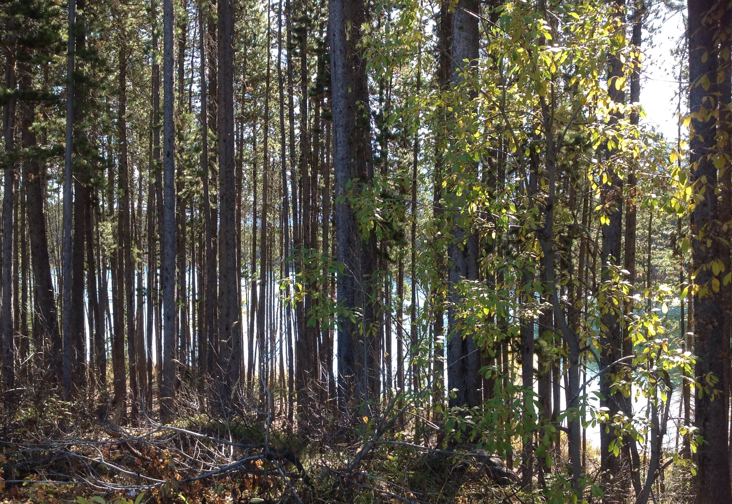
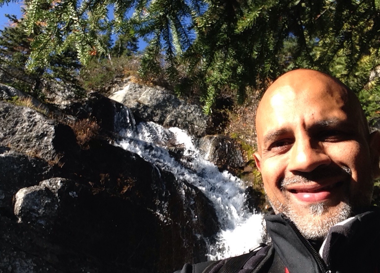
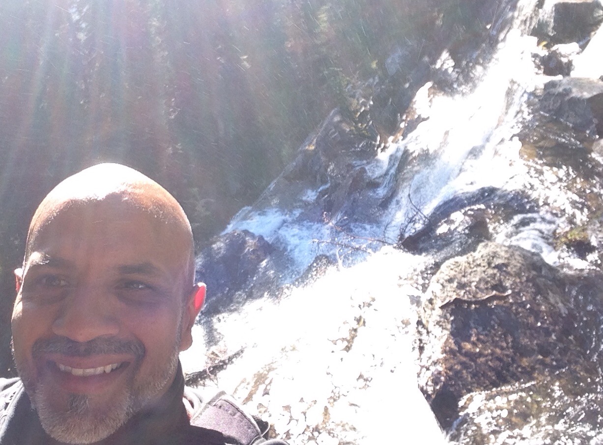
The hike (or crazy run down) was awesome! The trees that you see that have growth on one side and not the other are perfect examples of how harsh the conditions become in this environment where the extreme weather and brutal winds kill off one side of the trees and the other side that is protected from the rough elements continue their existence, a real contrast of the beauty of life and death in nature. Setting off I saw some wildlife on the road and decided to stop briefly at the glacier lookout bridge known as the ‘glacier skywalk’…very cool piece of engineering.
http://www.pc.gc.ca/eng/pn-np/ab/jasper/activ/explore-interets/glacier-athabasca.aspx